What is recorded here
No amount of rain or time will erase the straight stone-backed bank that cuts across the Achill headland. It still stands beside the Atlantic Drive, guarding a rectangular grassed chamber where forgotten rooms may have stood. The sea rages below, yet the fort remains dry and untouched, a deliberate marker of human will against the edge of the world.
Situated on a rectangular headland in an area of open sheep grazing on the W coast of Achill Island. The land slopes steeply down to the sheer cliffs along the 'Atlantic Drive' and the promontory fort is overlooked by higher ground to the E. The enclosed area is roughly rectangular and measures 62m N-S (along the bank) by 47m E-W. The interior slopes steeply down to the W and areas of outcrop and random stone settings give the impression of collapsed and grassed over internal features. A low earthen bank runs along the cliff edge at the N and the sea is inaccessible from the interior or from anywhere nearby.
The main bank is straight for most of its length except as is nears the northern cliff edge where it turns inwards, possibly following the natural slope of the ground. This bank averages 3m in width along its base, 0.4m high above the interior and 0.40m above the base of the external fosse and has an outer revetment of vertical stone slabs. The shallow fosse is only 0.7m wide and 0.2m below outer field level and in places a 1m wide by 0.2m high counter-scarp bank is visible. At a point some 8m to the E of the bank are the remains of a collapsed and grassed-over drystone oval shaped enclosure measuring internally 7m N-S by 5.4m E-W. There is no clear entrance gap and this possible hut site (MA065-015001-) is nestled into the base of a natural scarp which overlooks the fort from the E.
These descriptions are derived from the MA thesis of Markus Casey 1999 The coastal promontory forts of Ireland. A survey of counties Sligo, Mayo, Galway and Clare. Unpublished MA thesis, National University of Ireland, Galway.
Date of upload: 5 December 2018
The monument record does not grant public access. Check the route and ask the landowner before entering private land.
- What survives
- Recorded monument
Places near here
 Old CraneRuins · 686 yd
 DoonaglassPromontory fort, coastal · 1310 yd
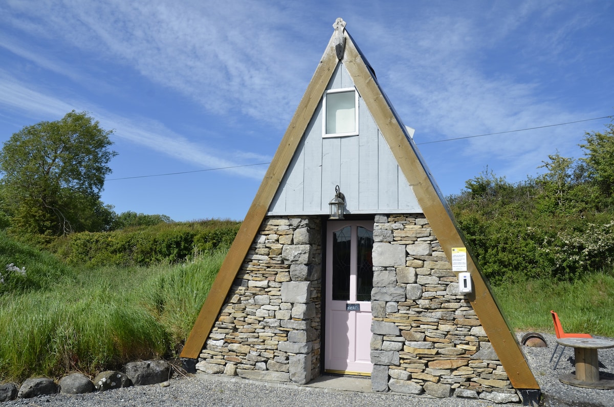 Dunnagurragh Fort & HutsPromontory fort, coastal · 1670 yd
 Kildavnet CastleCastle, tower house · 1.3 mi
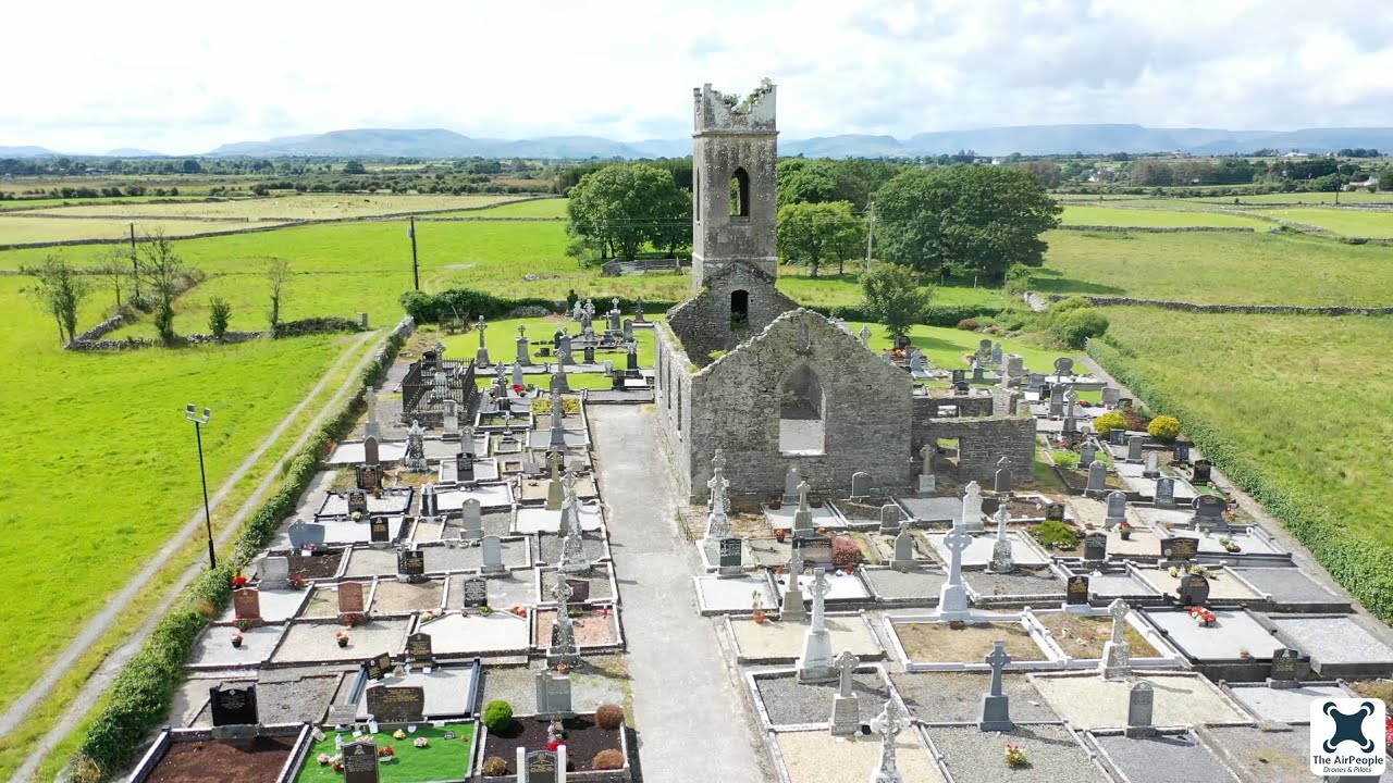 Church in Acaill BheagChurch · 1.3 mi
 Caisle án GhráinneHeritage attraction · 1.3 mi
 Achillbeg Island N TopMountain / peak · 1.4 mi
 Acaill BheagIsland · 1.5 mi
 Achillbeg Island S TopMountain / peak · 1.8 mi
 Cabbage treeCabbage tree · 2.1 mi
 Memorial Thomas PattenMemorial · 3.0 mi
 Clare IslandIsland · 5.3 mi