What is recorded here
Half a kilometre of bad land and one good headland. The wall still stands two courses high across the neck, its entrance cut clean enough to judge the height of the people who used it. The sea took the rest, including a corner of the hut below, but the fort keeps its shape because the rock refused to argue.
Situated on an upland area of bog and poor grazing land. The site is overlooked by high ground to the E and the view is spectacular with two nearby fortified headlands clearly visible (MA001-001---- and MA002-006----). The site consists of a broad W facing headland measuring 55m across and 90m long which is defended by a convex stone wall with an external bank and ditch. The wall has a clearly defined entrance and the remains of two hut sites (MA002-007002-, MA002-007003) lie nearby. The stone wall, which runs from cliff edge to cliff edge, is 2.6m in width and both inner and outer facing are visible, though nowhere is it more than two courses (c.0.5m) high. The core of the wall has disappeared. At a distance of 15m from the southern edge is a stone defined entrance 1.6m in width and 3.6m in length. A faint causeway crosses the ditch at this point. A low earthen bank runs parallel to the wall on the outside. The inner edge of the bank is scarped away, leaving a level berm 3.4m to 4m wide. A ditch 2m wide and 0.8m lower than the bank lies immediately outside it. Its outer edge is also very shallow, averaging only 0.2m below the field level. Old cultivation ridges visible along the edge of the fosse may have hastened its erosion. The triangular garth slopes down towards the E and is flanked by a sheer cliff to the S and sea rocks to the N. Access to the sea is possible from the northern edge of the site. A low earthen bank is intermittently visible along the cliff edge. The interior is strewn with rocks along the western and northern edges, and traces of former cultivation can be seen.
Outside the site 20m to the E lies a circular mound of earth and stone (diam. 5m) with a rectangular hut within it (MA003-007002-). To the S of the site across a small cove lies a circular grassed over hut site along the cliff edge (MA002-007003-). It is 3m in diameter and its N corner has slipped into the sea. The relationship between these huts and the fort is unclear. A small headland immediately to the S is crossed by a low earthen bank, but this seems too insubstantial to be the remains of a fort.
These descriptions are derived from the MA thesis of Markus Casey 1999 The coastal promontory forts of Ireland. A survey of counties Sligo, Mayo, Galway and Clare. Unpublished MA thesis, National University of Ireland, Galway. In this instance the entry has been revised and updated in the light of recent research.
Date of upload: 5 December 2018
The monument record does not grant public access. Check the route and ask the landowner before entering private land.
- What survives
- Recorded monument
Places near here
 Promontory fortPromontory fort, coastal · 146 yd
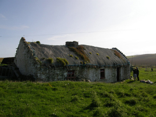 farm housefarm house · 1090 yd
 Carraig na gColmIslet · 1.6 mi
 Oileán DhabhaicIslet · 2.0 mi
 Ceann IorraisHeadland · 2.1 mi
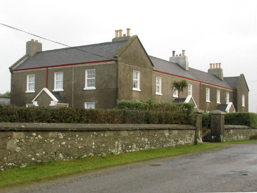 lighthouse keeper's houselighthouse keeper's house · 2.1 mi
 Burkes Castle (Site of)Castle, unclassified · 2.4 mi
 Dún na mBó BlowholeHeritage attraction · 2.4 mi
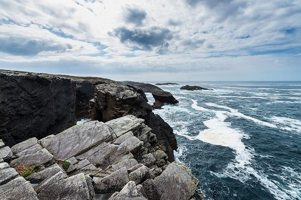 DoonamoPromontory fort, coastal · 2.4 mi
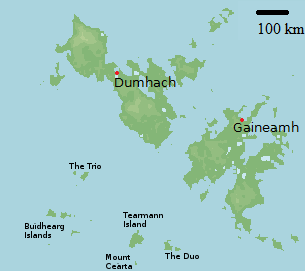 Bawn in Tearmann CaithreachBawn · 2.7 mi
 Ceann an EanaighHeadland · 4.4 mi
 Portnacully BeachBeach / strand · 4.6 mi