What is recorded here
Promontory fort stands on a narrow west-facing headland in County Mayo, where earthen banks and ditches still block the isthmus between grassy fields and the sound. The low cliffs, missing entrance, and nearby circular hut suggest people watched the water, kept livestock, or simply lived beside the sea before the shore took back most of their marks.
Situated in an area of fertile grazing land along the low-lying indented shoreline of the island. The shore is accessible from the site which commands a good view along the sound between Achill and Achillbeg islands. An irregularly shaped W-facing headland measuring 90m long and 27m wide has an isthmus which was fortified by several earthen banks and ditches. The interior is featureless.
Crossing the narrow isthmus are two low earthen banks and two flat bottomed ditches. They are both well preserved towards the N, deteriorating to the S. The inner bank averages 0.8m high and 2m wide, while the outer bank stands only 0.4m high and is 1.5m wide. Both are round topped and show no trace of having been faced with stone. The intervening ditch is 2.5m in width and the outermost one averages 2m in width and 0.6m below ground level. A path runs along the southern cliff edge. Besides the path there is no trace of an entrance. The proximity of the site to sea level may explain the poor condition of the remaining features. To the W of this at a distance of 20m within the interior lie the remains of a third earthen bank running across the headland. It is straight and only 0.3m high and 1m wide and may be a later field boundary. Several sheep gaps run through this bank which does not have a corresponding ditch.
Outside the fort along the northern edge of the shore 10m from the neck of the headland are the remains of a circular hut (MA065-031002-). It is 4m in diameter and has two narrow gaps in its perimeter wall. This wall only remains as a 1m wide 0.40m high grassed over collapsed bank of stone and earth. Nearby lie the remains of two short lengths of earth and stone bank, and also a pile of beach pebbles and an irregular setting of slabs. The relationship of these features to the fort is unclear. They may be the remains of fishermen's huts as a nearby sheltered cove is easily accessible from this point.
The site occupies the headland immediately to the N of a much smaller fort (MA065-032001-) which had been described by Westropp.
These descriptions are derived from the MA thesis of Markus Casey 1999 The coastal promontory forts of Ireland. A survey of counties Sligo, Mayo, Galway and Clare. Unpublished MA thesis, National University of Ireland, Galway.
Date of upload: 5 December 2018
This remains an important historical record, but the official description says the monument is no longer visible or has been destroyed. The monument record does not grant public access. Check the route and ask the landowner before entering private land.
- What survives
- No visible remains or recorded as destroyed
Places near here
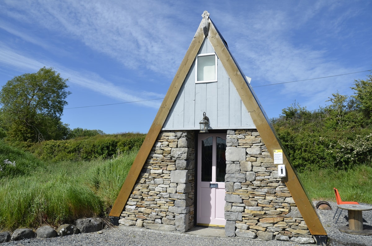 Dunnagurragh Fort & HutsPromontory fort, coastal · 67 yd
 DoonaglassPromontory fort, coastal · 314 yd
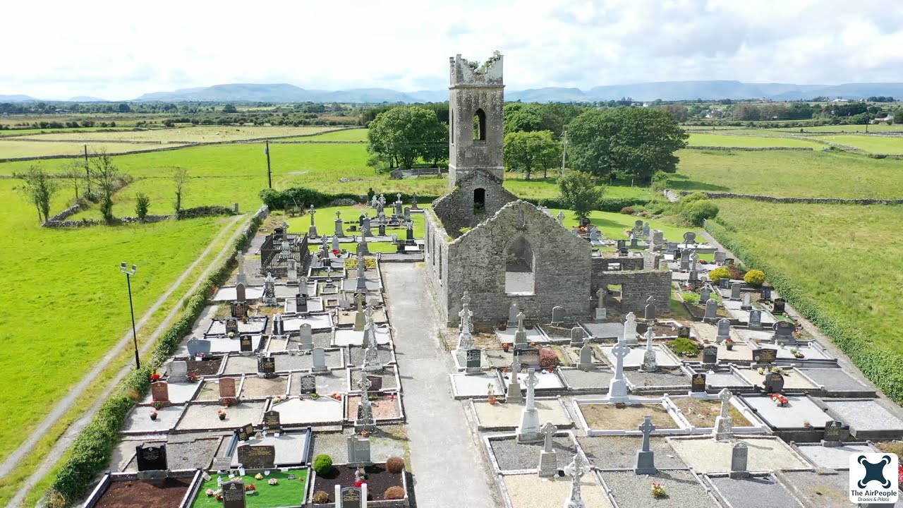 Church in Acaill BheagChurch · 709 yd
 Achillbeg Island N TopMountain / peak · 884 yd
 Acaill BheagIsland · 1096 yd
 Achillbeg Island S TopMountain / peak · 1610 yd
 Kildavnet CastleCastle, tower house · 1686 yd
 Caisle án GhráinneHeritage attraction · 1687 yd
 R. C. ChapelChurch · 1.1 mi
 Cabbage treeCabbage tree · 2.7 mi
 Memorial Thomas PattenMemorial · 3.9 mi
 Clare IslandIsland · 4.7 mi