What is recorded here
Birr is situated in the low-lying fertile valley of the Little Brosna River. The town developed SE of the castle (OF035-012004-) and within the bounds of a pronounced meander in the River Camcor. The Camcor joins the Little Brosna to NW of the town. St Brendan reputedly established a monastery (OF035-012001/003-) here in the 6th century which subsequently became a prestigious and influential foundation and one of the most celebrated members of St Columcille's great federation of churches. Located in the border area between the provinces of Munster, Meath, Leinster and Connacht and itself located in the territory of Eile in Munster, the monastic settlement was frequently chosen as a venue for the meetings of both kings and churchmen, perhaps the most significant of which were the synods of AD 697 and 1174. An Anglo-Norman castle (OF035-012009-) and settlement had been established at Birr by 1207 and continued at least until c. 1315. By the mid-14th century the settlement had reverted to the O'Carrolls of Ely. The 'Black Castle' (OF035-012010) became one of the principal seats of the ruling branch of that dynasty and remained as such until its sale to Butler of Ormond in 1594. In 1621 as part of the Plantation of Ely O'Carroll, Laurence Parsons was granted the lands, 'castle and fortilage' of Birr which became the manor of Parsonstown and a new castle (OF035-012004-) was erected by the Parsons family. It was from this time and under Laurence Parsons' direction that Birr began to develop as a true town. In 1621 he obtained a grant of a Tuesady market and two annual fairs, to which were added a Saturday market and two more fairs in 1627. There was also a market cross in the town which was erected in c. 1625, a tuck mill (OF035-012017), two grist mills, five watermills (OF035-012011) and as early as 1626 a Free School. A gaol is marked on Richard's plan of 1691. Unlocated gaol or prison within the modern town of Birr, from Richard's plan the gaol appears to have been located at the junction of Moorpark St. and High St.
Compiled by: Caimin O'Brien.
Date of upload: 23 May 2011
The monument record does not grant public access. Check the route and ask the landowner before entering private land.
- What survives
- Recorded monument
Places near here
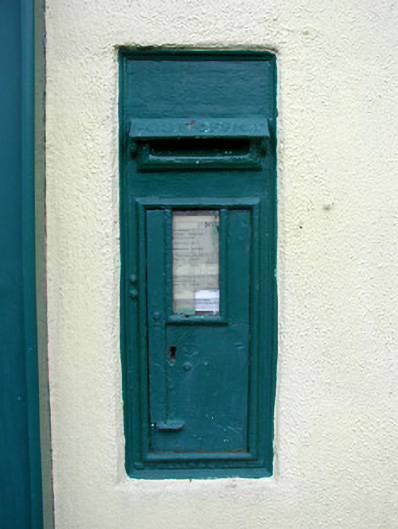 post boxpost box · 25 yd
 H.J. Havertyhouse · 33 yd
 Town defences in Townparks (ballybrit By.)Town defences · 259 yd
 Ecclesiastical site in Townparks (ballybrit By.)Ecclesiastical site · 298 yd
 Waterfall PointViewpoint · 316 yd
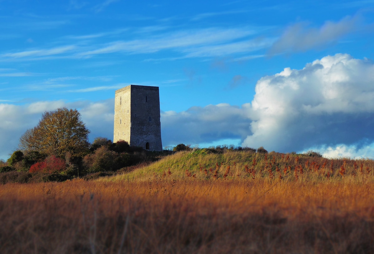 Black Castle (Site of)Castle, motte · 405 yd
 Oriental planeOriental plane · 514 yd
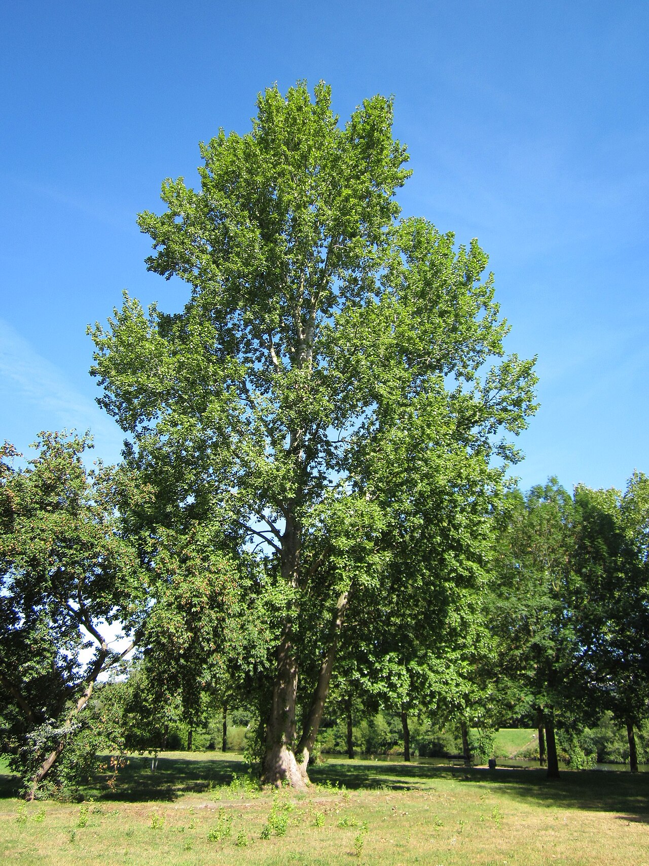 Grey PoplarGrey Poplar · 515 yd
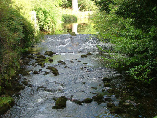 Birr Castlehydroelectric power station · 552 yd
 Birr Heritage CentreMuseum · 579 yd
 James Franklin FullerMemorial · 658 yd
 River WalkWalking route · 698 yd