
What is recorded here
End-of-terrace corner-sited pair of four-bay two-storey houses, built c.1750, with pubfront to ground floor and return and extension to rear. Fronts directly onto street. Pitched tiled roof with rendered chimneystacks and cast-iron rainwater goods. Ruled-and-lined render to walls with plinth and channelled quoins. uPVC and timber casement windows with stone sills. Square-headed door opening to centre of façade with overlight, timber panelled door and stone threshold. Square-headed door opening to eastern bay with replacement glazed timber doors. Timber shopfront with central recessed opening with timber panelled double outer doors, glazed timber inner doors, accessed over stone threshold. Timber pilasters and display windows supported on panelled stallrisers and flanked by pilasters supporting timber fascia board and cornice. Stone wheel guard to northernmost corner.
According to the owner, associated deeds for this house date from the mid eighteenth century. The existing exterior, however, is very much nineteenth century in flavour. H. J. Haverty's public house is situated on the corner of Moorepark Street and Bridge Street. Bridge Street is part of the oldest area within the town and where the seventeenth-century centre of Birr developed. This structure retains a fine example of a mid nineteenth-century pubfront with its flat-panelled stallrisers and small mullioned windows and a well-worn stone threshold alluding to its history.
This does not grant access. Most recorded buildings are privately owned; view them only from public ground unless the owner allows entry.
Places near here
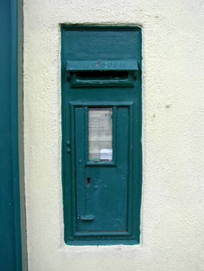 post boxpost box · 42 yd
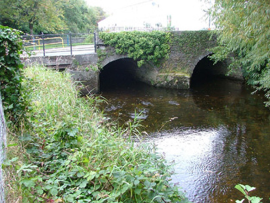 bridgebridge · 63 yd
 Town defences in Townparks (ballybrit By.)Town defences · 249 yd
 Ecclesiastical site in Townparks (ballybrit By.)Ecclesiastical site · 313 yd
 Waterfall PointViewpoint · 340 yd
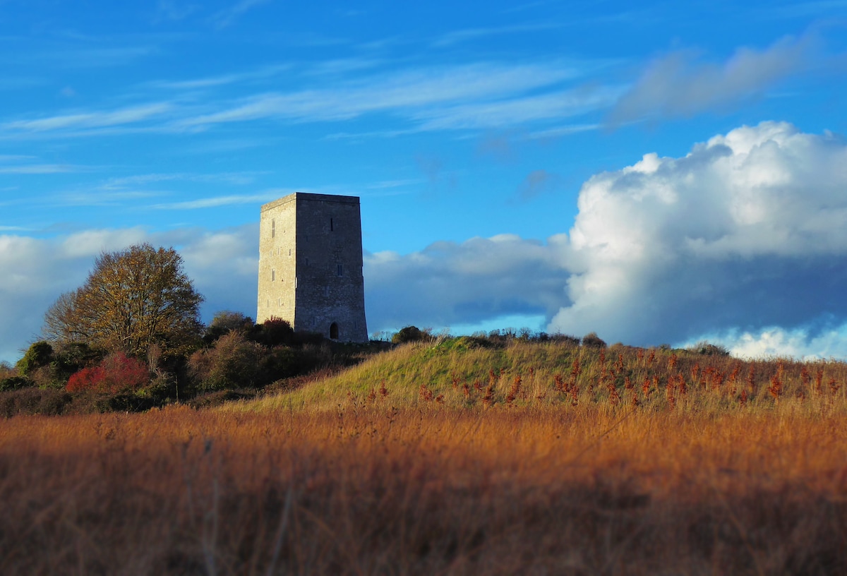 Black Castle (Site of)Castle, motte · 429 yd
 Oriental planeOriental plane · 507 yd
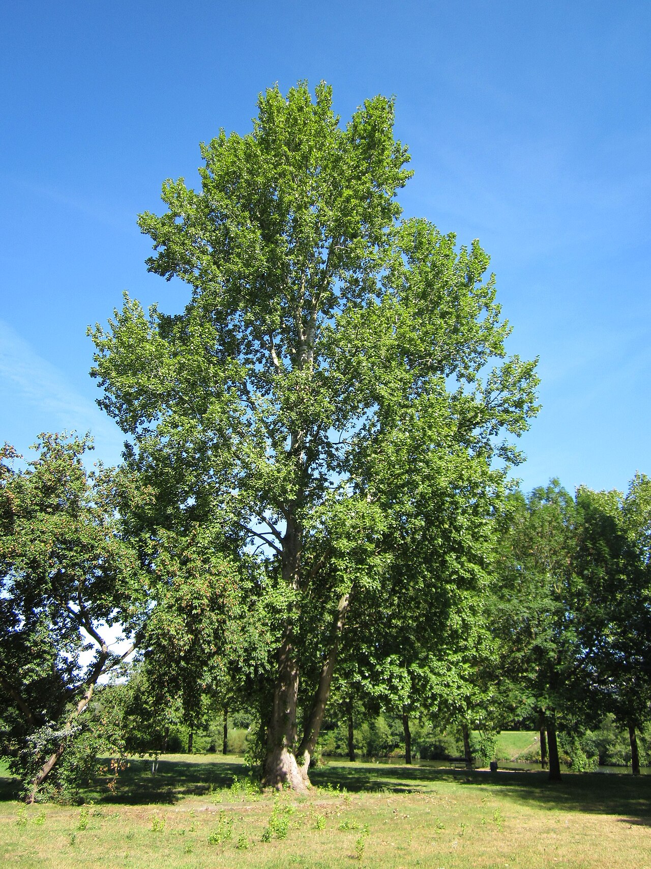 Grey PoplarGrey Poplar · 546 yd
 Birr Heritage CentreMuseum · 570 yd
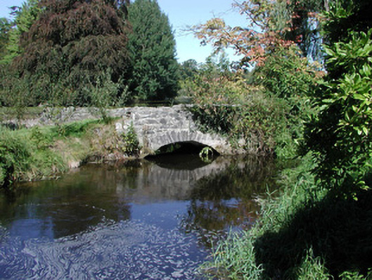 Birr Castlefoot bridge · 576 yd
 James Franklin FullerMemorial · 668 yd
 River WalkWalking route · 674 yd
Other information
Photo: National Inventory of Architectural Heritage · Website use allowed for educational or private purposes with source credit