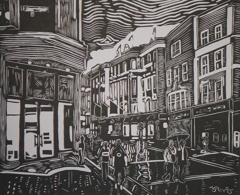
What is recorded here
The Civil Survey 1654-6 mentions a watermill at St. Mary Abbey lands and the Grange of Clonliffe. It is marked on the Down Survey (1655-6) maps as 'Grange mill' and a corn mill on the 1837 OS 6-inch map. A printing works occupies the site. No visible trace.
This remains an important historical record, but the official description says the monument is no longer visible or has been destroyed. The monument record does not grant public access. Check the route and ask the landowner before entering private land.
- What survives
- No visible remains or recorded as destroyed
Places near here
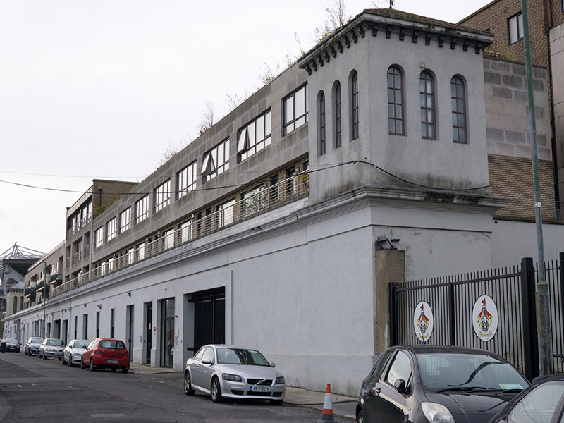 Corn Mill Apartmentsstore/warehouse · 99 yd
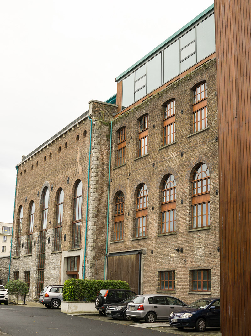 Tivoli Centredistillery · 108 yd
 Kellogg's Skyline TourHeritage attraction · 463 yd
 Ballybough Burial PlotMonument · 508 yd
 Gaelic Athletic Association MuseumMuseum · 523 yd
 National Famine WalkMemorial · 612 yd
 St Josephs Asylum for the BlindCastle, unclassified · 660 yd
 Grave yd.Graveyard · 852 yd
 DCUVisitor information · 898 yd
 Percy Edwin LudgateMemorial · 926 yd
 Leabharlann LibraryVisitor information · 1062 yd
 Killing of David Byrnemurder · 1618 yd
Other information
Photo: Credit not shown in the picture search · Rights wording not checked; contact us if this picture should be removed