What is recorded here
The following description is derived from both the published 'Archaeological Inventory of County Louth' (Dublin: Stationery Office, 1986) and the 'Archaeological Survey of County Louth' (Dublin: Stationery Office, 1991). In certain instances the entries have been revised and updated in the light of recent research.
Date of upload/revision: 17 July 2007
Large quantities of flint have been noted on the raised beaches at Greenore. Most of the flint has been heavily rolled, though some diagnostic 'Larnian' and Neolithic material is recorded (Woodman 1978, 306). Owing to the nature of the rolling the interpretation of some implements by Liversage (JRSAI 1961, 109-16) and Hodgers (CLAJ 1973, 46-60) is dubious, and in general the industry would appear to be comparatively light.
The monument record does not grant public access. Check the route and ask the landowner before entering private land.
- What survives
- Recorded monument
Places near here
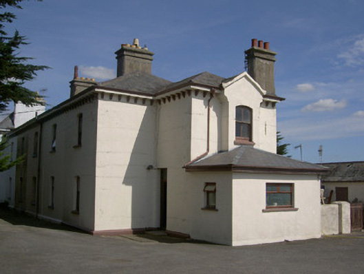 Historic buildingOfficially recorded historic building · 214 yd
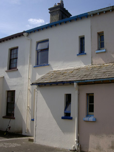 worker's houseworker's house · 218 yd
 GreenoreVisitor information · 266 yd
 Greenore PointHeadland · 649 yd
 Castle in RuinsCastle, unclassified · 1510 yd
 Church (Site of)Church · 1592 yd
 St. Jamess WellHoly well · 1594 yd
 St James WellSpring · 1603 yd
 GreencastleCastle · 1.5 mi
 Leprechauns caveCave · 2.1 mi
 The Last Leprechauns of IrelandVisitor information · 2.1 mi
 Graveyard in Liberties OF CarlingfordGraveyard · 2.3 mi