What is recorded here
Prehistoric site is a prehistoric site (lithic scatter) in Drinaghan (carbury By., Knocknaree Ed), rathcarrick, County Sligo, Ireland. Clear-felling exposed 3,600 worked lithics across 1,035 spots in 72 acres, with chert chunks and cores clustering near outcrops above terraces. Formal tools concentrated in these terrace areas, while depressions proved unlikely to be human-made after excavation. The scatter connects to Neolithic tool production on Knocknarea, where concave scrapers formed a central part of mountain activity.
Following on from the discovery of numerous lithics a survey was commissioned of c.72 acres of a clear-felled irregularly-shaped area in Rathcarrick townland (Hammar and Bergh cited in Coyne 2010, 15). The purpose of the survey was to determine the occurrence of prehistoric lithics exposed by the clear-felling, to record the locations and to indicate the areas of archaeological significance. A certain amount of ground damage had been caused by machinery during the felling process although this varied throughout the area surveyed. The visibility of artefacts was also impacted by the growth of brushwood and scrub.
A total number of 3,600 worked lithics was recorded, at 1,035 find spots. Concentrations of finds were influenced by the degree of visibility. It was noted that areas where few finds were recorded should not be seen as indicative of low activity, as this may simply be the result of low visibility. The lithics recovered from the steeper slopes frequently consisted of chunks of chert, cores and flakes and contained very few formal tools. It was also noted that there was a close spatial relationship between high intensity find spots and exposed outcrops. In some cases these exposed outcrops where a high number of lithics were recovered are located just above terraces: these were interpreted as functioning either as possible processing or habitation areas. Most of the formal tools recorded were associated with these areas.
A number of depressions or "scoops" were also identified and these were interpreted as possibly indicating prehistoric settlement. Subsequent excavation (licence no. 07E0803) of a sample indicated that the ‘features are unlikely to be the result of anthropogenic activity and are of no archaeological significance.’ (Brady 2010, 423). It has been suggested that the extensive quarrying may be related to the evidence for a lithic industry identified on the eastern side of the summit of Knocknarea, where tool production (notably concave scrapers) was a central part of Neolithic activity on the mountain (Coyne 2010, 15).
Compiled by: Paul Walsh
Date of upload: 11 March 2014
The monument record does not grant public access. Check the route and ask the landowner before entering private land.
- What survives
- Recorded monument
Places near here
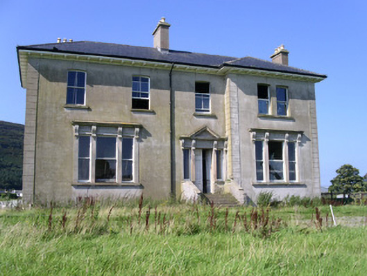 Rathcarrick Househouse · 491 yd
 Knocknarea trailWalking route · 718 yd
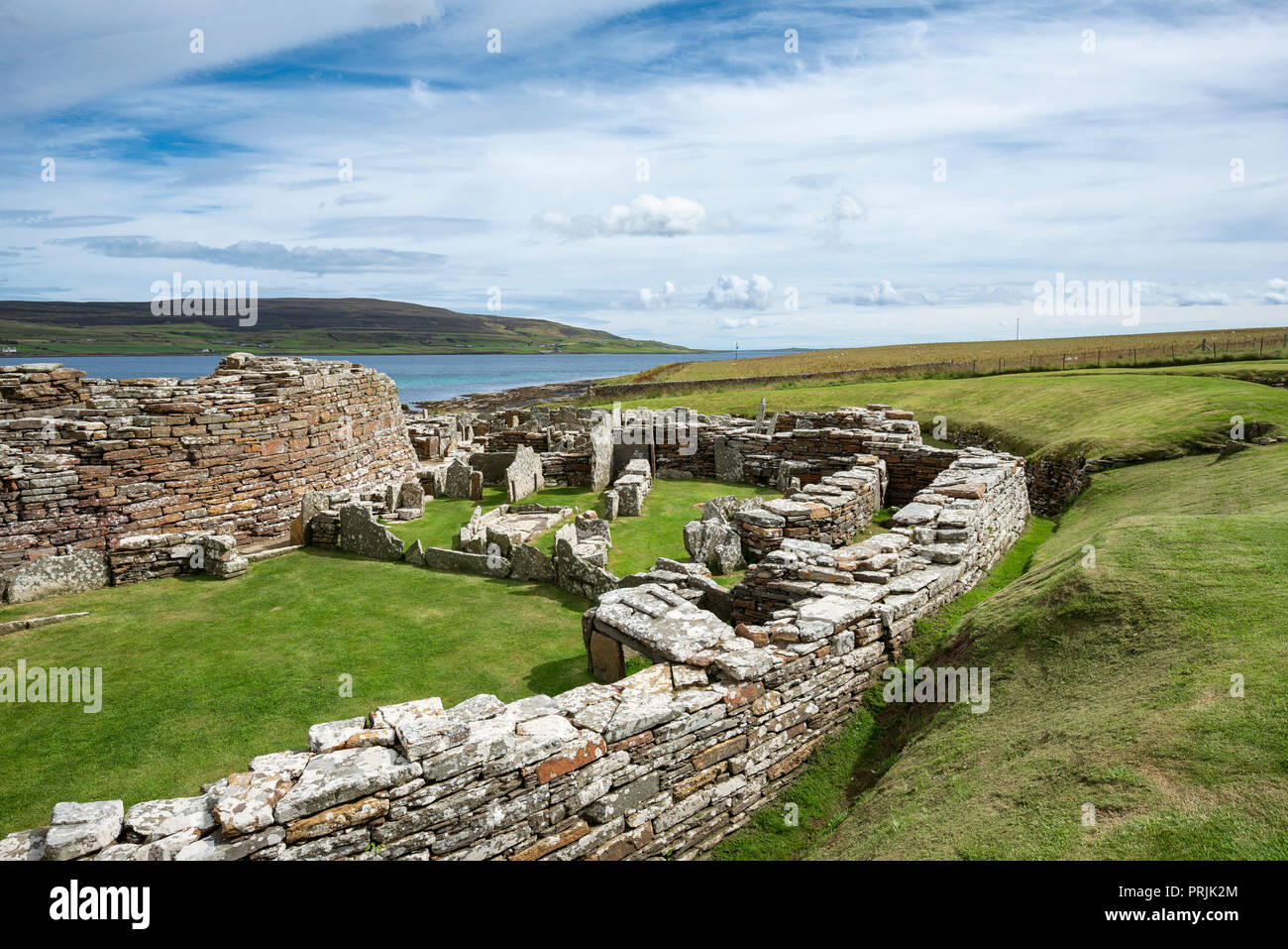 Settlement ruinsArchaeological place · 749 yd
 Enclosure in Lecarrow (carbury By.)Enclosure · 829 yd
 KnocknareaMountain / peak · 1067 yd
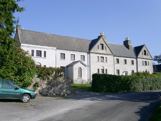 Primrosegrange Houseschool · 1132 yd
 Castle (in Ruins)Castle, unclassified · 1380 yd
 The GlenWood · 1.0 mi
 Carrowmore Visitors CentreVisitor information · 1.8 mi
 Carrowmore Megalithic CemeteryHeritage attraction · 1.9 mi
 Doonanpatrick IslandIslet · 1.9 mi
 CulleenamoreBeach / strand · 2.0 mi