What is recorded here
Ballyoran in County Down may have been a medieval settlement, though no exact date or named event is known. The uncertainty itself belongs to the place, leaving room for imagination about the people who lived there. They may have farmed, traded, argued, loved and forgotten the boundaries others later drew. What is certain is that the land held a settlement, and what is missing is the story of the people who made it theirs.
The official Northern Ireland record identifies this as Possible medieval settlement. Recorded period: UNCERTAIN. The official map point was placed at the centre of the recorded archaeological site from the source map reference.
The monument record does not grant public access. Check the route and ask the landowner before entering private land.
- What survives
- Recorded monument
Places near here
 ENCLOSURE in BallylisbredanENCLOSURE · 588 yd
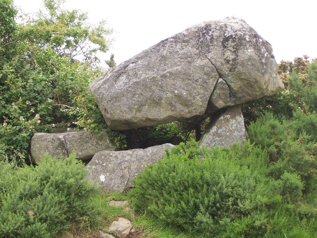 PORTAL TOMB: THE KEMPE STONES in GreengravesPORTAL TOMB: THE KEMPE STONES · 605 yd
 Old MillShop · 1099 yd
_-_geograph.org.uk_-_3201578.jpg?width=1280) Presbyterian ChurchChurch · 1.3 mi
Presbyterian ChurchChurch · 1.3 mi CairngaverMountain / peak · 2.1 mi
 Comber GreenwayWalking route · 2.3 mi
 Kiltonga Nature ReserveNature reserve · 2.3 mi
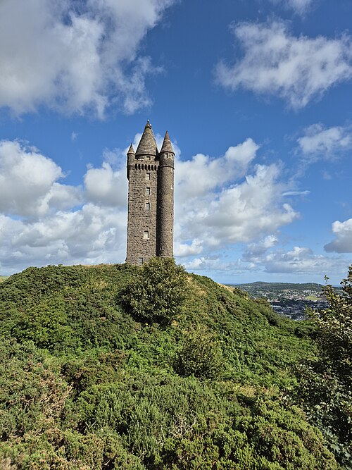 Scrabo TowerHeritage attraction · 2.4 mi
 Cairn WoodForest · 2.4 mi
 Scrabo HillMountain / peak · 2.4 mi
 FORTIFICATION (site of): MOUNT ALEXANDER CASTLE in Mount AlexanderFORTIFICATION (site of): MOUNT ALEXANDER CASTLE · 2.5 mi
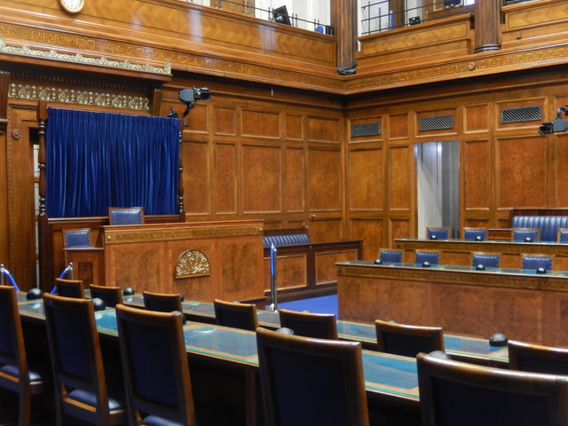 Assembly ChamberHeritage attraction · 2.6 mi