What is recorded here
The official Northern Ireland record identifies this as possible BARROW. Recorded period: UNCERTAIN; PREHISTORIC. Recorded protection: Scheduled. The official map point was placed at the centre of the recorded archaeological site from the source map reference.
Possible Bronze Age barrow; a burial mound indicating early ceremonial or funerary practices. Its scheduled protection highlights its archaeological importance, though specific details remain uncertain.
The monument record does not grant public access. Check the route and ask the landowner before entering private land.
- What survives
- Recorded monument
Places near here
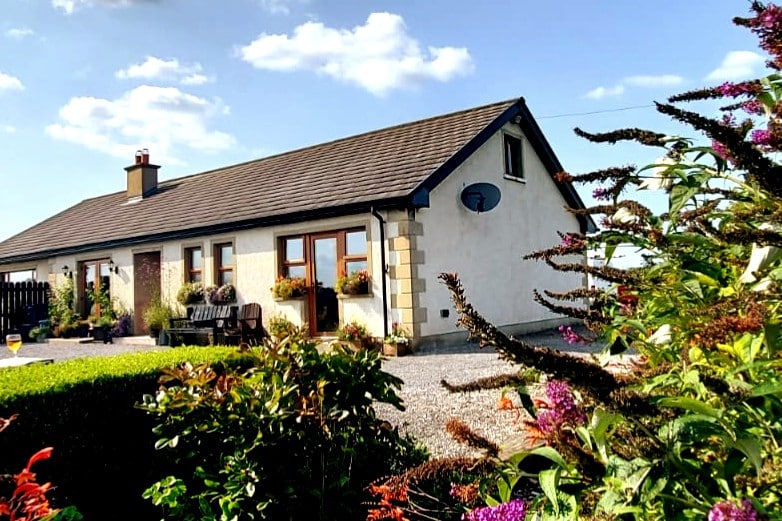 A.P. SITEA.P. SITE, enclosure? · 1.3 mi
 Belleek PotteryHeritage attraction · 1.9 mi
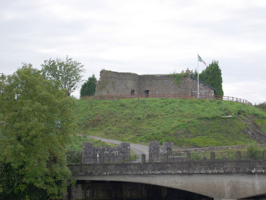 Belleek Battery / FortBattery and garrison fort · 1.9 mi
 Belleek Pottery MuseumMuseum · 1.9 mi
 Bilberry IslandIslet · 2.4 mi
 PLANTATION CASTLE: MAGHERAMEENAGH CASTLE in MagherameenaghPLANTATION CASTLE: MAGHERAMEENAGH CASTLE · 2.5 mi
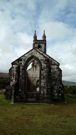 Old ChurchRuins · 2.5 mi
 Sally IslandIslet · 2.5 mi
 Cliff Generating Stationhydroelectric power station · 2.6 mi
 Ross PointHeadland · 3.9 mi
 Castle in ruinsCastle, unclassified · 4.2 mi
 RSPB Lower Lough Erne IslandsNature reserve · 4.5 mi