What is recorded here
Ardglass holds a possible barrow and Bronze Age burial site where ancient people placed their dead beneath the earth. The mound may have marked a life, a lineage, or a local belief about what continues after death. Its exact shape has faded, but the purpose remains clear: someone valued the dead enough to build a visible place for them.
The official Northern Ireland record identifies this as Possible Barrow and site of Bronze Age Burial. Recorded period: PREHISTORIC. The official map point was placed at the centre of the recorded archaeological site from the source map reference.
Bronze Age barrow; dates to the prehistoric period and represents a significant burial monument, though its exact type and wider archaeological context remain unclear.
The monument record does not grant public access. Check the route and ask the landowner before entering private land.
- What survives
- Recorded monument
Places near here
 Isabella TowerTower · 12 yd
 MODERN CHURCH ON EARLIER SITE in ArdglassMODERN CHURCH ON EARLIER SITE · 362 yd
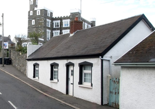 TOWER-HOUSE: KING'S CASTLE in ArdglassTOWER-HOUSE: KING'S CASTLE · 454 yd
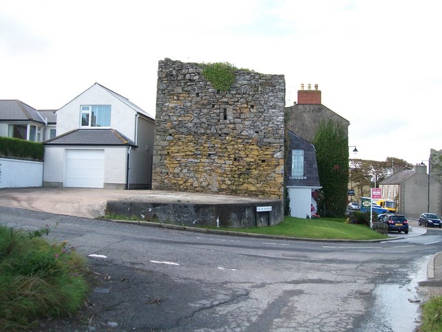 TOWER-HOUSE: MARGARET'S CASTLE in ArdglassTOWER-HOUSE: MARGARET'S CASTLE · 483 yd
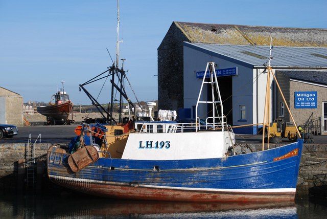 ArdglassVisitor information · 639 yd
 Enclosure/Building in ArdtoleEnclosure/Building · 1190 yd
 Ardtole ChurchWalking route · 1642 yd
 Curlew PointHeadland · 1643 yd
 CHURCH (in ruins) & GRAVEYARD: ARDTOLE CHURCH; ST.NICHOLAS' in ArdtoleCHURCH (in ruins) & GRAVEYARD: ARDTOLE CHURCH; ST.NICHOLAS' · 1656 yd
 Harbour and rope walk: Killough Harbour in KilloughHarbour and rope walk: Killough Harbour · 1.0 mi
 Water Safety Information - Killough HarbourVisitor information · 1.1 mi
 Sheepland Harbour PathWalking route · 2.0 mi