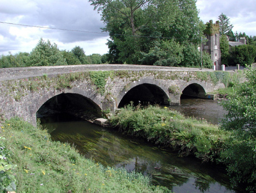
What is recorded here
Three-arch rubble stone road bridge over river and canal, c.1780. Random rubble stone walls with lime mortar, cut-stone triangular cut-waters, and rendered coping to parapets. Three segmental arches with squared limestone voussoirs, and rubble stone soffits having lime render over. Sited spanning Clodiagh River and Clodiagh Canal with grass banks to both waterways.
An elegantly-composed bridge that forms an appealing feature on the Clodiagh River and Clodiagh Canal. The traditional construction in unrefined rubble stone serves to assimilate the bridge attractively into the surrounding landscape. The civil engineering heritage significance of the composition is identified by the construction of the arches, which have retained their original form and profile.
This does not grant access. Most recorded buildings are privately owned; view them only from public ground unless the owner allows entry.
Places near here
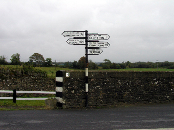 sign postsign post · 31 yd
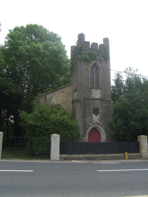 Portlaw Presbyterian Churchchurch/chapel · 44 yd
 Portlaw Heritage CentreMuseum · 351 yd
 CastleCastle, unclassified · 1700 yd
 Portlaw WoodForest · 1709 yd
 Rockets Castle (in ruins)Castle, tower house · 1.2 mi
 Grave YardGraveyard · 1.3 mi
 Beallough WoodForest · 1.3 mi
 Donnell's HillMountain / peak · 1.4 mi
 Pollrone House (site of)Archaeological place · 1.5 mi
 Tower HillMountain / peak · 2.8 mi
 Waterford & Suir Valley RailwayHeritage attraction · 3.9 mi
Other information
Photo: National Inventory of Architectural Heritage · Website use allowed for educational or private purposes with source credit