What is recorded here
Porters Islands are two crannogs separated by fifty metres of shallow water in Lough Ramor, County Cavan. The larger northern island measures eighty by forty-five metres, while the smaller southern island stretches seventy by thirty metres. Both hold central mounds rising three metres above the lake, suggesting people shaped open island space into durable residential landmarks rather than leaving behind dense ruins.
Two islands c. 50m apart situated in a shallow bay in Lough Ramor. The larger NE island is roughly oval in plan (dims. c. 80m NNE-SSW; c. 45m WNW-ESE). The SW island is subrectangular in plan (dims. c. 70m NNW-SSE; c. 30m E-W). Davies (ITA Survey 1942) described both islands as 'fairly open', with central mounds rising to c. 3m above the water-level of the lake.
The above description is derived from the published 'Archaeological Inventory of County Cavan' (Dublin: Stationery Office, 1995). In certain instances the entries have been revised and updated in the light of recent research.
Date of upload/revision: 22 December 2008
The monument record does not grant public access. Check the route and ask the landowner before entering private land.
- What survives
- Recorded monument
Places near here
 Porters IslandIslet · 11 yd
 Cock IslandIslet · 201 yd
 Knockatemple WoodlandWood · 661 yd
 The Lady's CottageRuins · 1236 yd
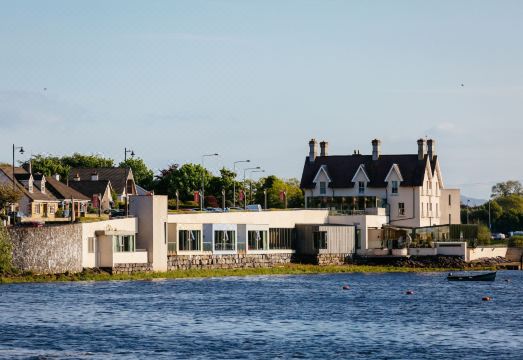 Ice HouseRuins · 1514 yd
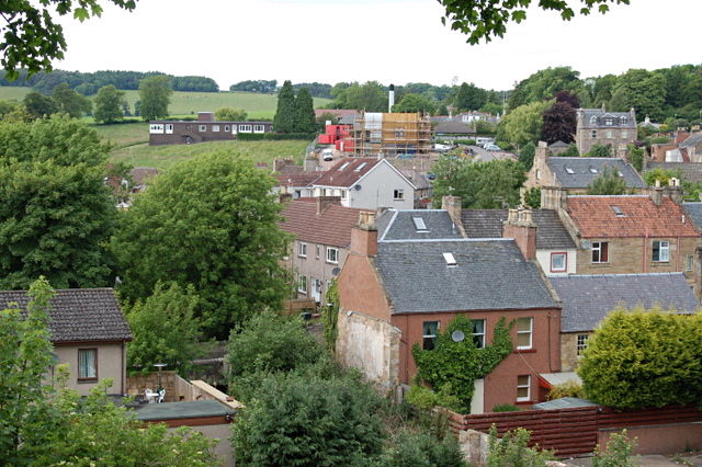 MoatCastle, motte and bailey · 1547 yd
 Welcome to VirginiaVisitor information · 1691 yd
 Deerpark ForestForest · 1708 yd
 Mass-rock in KnocknagartanMass-rock · 1718 yd
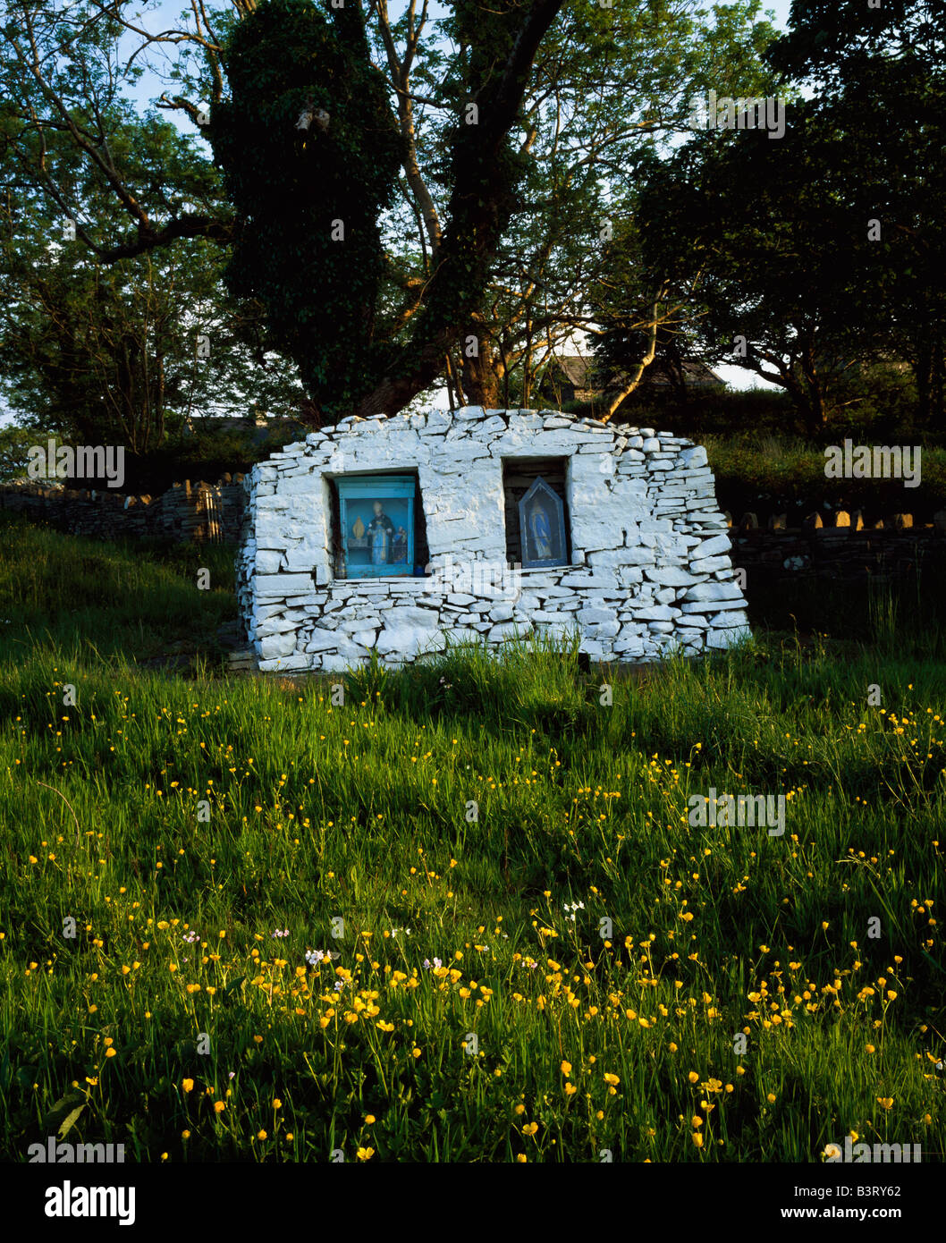 Holy well in KnocknagartanHoly well · 1.0 mi
 Ramor Aontaithe C.L.G. Dolan ParkMemorial · 1.1 mi
 Virginia Handball ClubMemorial · 1.1 mi