What is recorded here
Portballintrae Historic Settlement in Bushfoot OR Lissanduff marks a post-medieval and seventeenth-century human presence in County Antrim. The name itself suggests a harbour or landing place, likely used for fishing, trade or passage along the coast. People may have built shelters, stored gear or watched ships from the cliffs above. The settlement still belongs to the landscape, even when no longer visible.
The official Northern Ireland record identifies this as Portballintrae Historic Settlement. Recorded period: POST-MED; C17TH. The official map point was placed at the centre of the recorded archaeological site from the source map reference.
The monument record does not grant public access. Check the route and ask the landowner before entering private land.
- What survives
- Recorded monument
Places near here
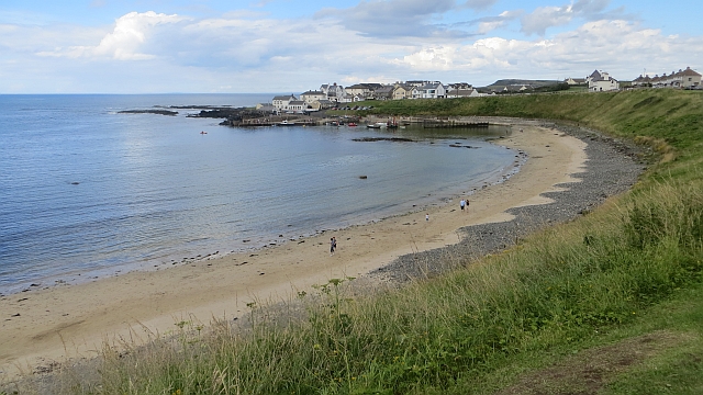 Portballintrae BeachBeach / strand · 263 yd
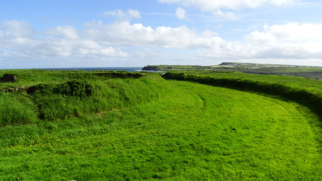 Lissanduff EarthworksNature reserve · 504 yd
 ENCLOSURE (rath?; O.S. memoir site) in Ballintrae; GortcappleENCLOSURE (rath?; O.S. memoir site) · 597 yd
 Runkerry BeachVisitor information · 827 yd
 ENCLOSURE (O.S. memoir site; unlocated) in GortnacappleENCLOSURE (O.S. memoir site; unlocated) · 1264 yd
 Runkerry Stand (Bushfoot)Beach / strand · 1288 yd
 Clock TowerClock Tower · 1.1 mi
 Former National SchoolHall · 1.1 mi
 Old Bushmills DistilleryHeritage attraction · 1.3 mi
 Mermaid CaveCave · 1.4 mi
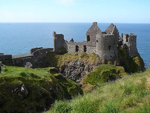 Dunluce CastleHeritage attraction · 1.4 mi
 MULTI-PERIOD CASTLEMULTI-PERIOD CASTLE, C15th-POST-MEDIEVAL, with ROCK-CUT Man-made underground passage: DUNLUCE CASTLE · 1.4 mi