What is recorded here
No visible chamber, but a narrow slot in the rocks: a portal tomb where the roof has fallen or never sat flat. The land around it is open, wet and ancient-looking, the kind of place where people once set stones to mark death, not decoration. What is missing is not an excuse to dismiss it. The slot, the rockwork and the setting still point to a real tomb, one that time has sharpened into a wound rather than a room.
Situated in a forest overlooking Lough Macnean Upper. This roofed chamber is exposed in a hole in a peat-grown cairn of oval outline, measuring 20m by 16.5m by 2m high. The chamber, in the western half of the cairn, is rectangular in plan and measures about 2m long and 0.65m wide. Entry to it is at the W between two tall portal-stones, 0.65m apart. Behind each is a low sidestone. A backstone is set between the ends of the sidestones. A corbel rests on the southern sidestone and there are two superimposed examples on the northern one. Two overlapping roofstones cover the chamber. A small slab has been jammed between the roofstones. 'A fine urn' is said to have been found in the chamber. (de Valera and Ó Nualláin 1972, 106, No. 4)
The above description is derived from the published 'Archaeological Inventory of County Cavan' (Dublin: Stationery Office, 1995). In certain instances the entries have been revised and updated in the light of recent research.
Date of upload/revision: 22 December 2008
See linked document with details from Ruaidhrí de Valera and Seán Ó Nualláin, Survey of the Megalithic Tombs of Ireland. Volume III. Counties Galway, Roscommon, Leitrim, Longford, Westmeath, Laoighis, Offaly, Kildare, Cavan. (Dublin: Stationery Office, 1972).
Portal tomb, dating to the Neolithic period (c. 4000–2500 BCE). These tombs are significant as early examples of communal burial and megalithic construction in Ireland.
The monument record does not grant public access. Check the route and ask the landowner before entering private land.
- What survives
- Recorded monument
Places near here
 IndicatedEnclosure · 127 yd
 Rocking StoneArchaeological place · 557 yd
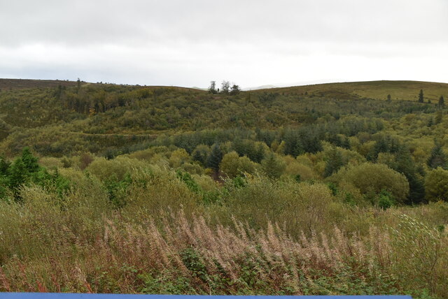 Cavan Burren ParkForest · 593 yd
 Dolines/SinkholesCave · 627 yd
 Cavan BurrenHeritage attraction · 657 yd
 BurrenMountain / peak · 750 yd
 Boulder GraveyardArchaeological place · 910 yd
 Legnaveagh SinkholeCave · 1170 yd
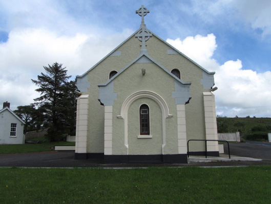 St Felim’s Roman Catholic Churchchurch/chapel · 1326 yd
 CullentraghMountain / peak · 1.2 mi
 Marlbank ViewpointViewpoint · 1.7 mi
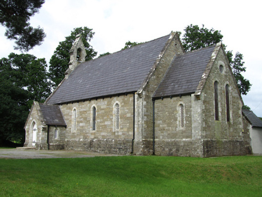 Killinagh Churchchurch/chapel · 2.0 mi