What is recorded here
Ballylowra is an empty field where a portal tomb once stood. Between 1850 and 1868, its large stones were destroyed, leaving no visible chamber behind. What remains is a forgotten shape in the pasture, perhaps still marked beneath the grass by the weight of what was lost.
In flat pasture at the W foot of Jerpoint Hill ridge about 500m E of the Little Arrigle River. The portal tomb was destroyed between 1850 and 1868. A sketch of the partly ruined monument by Rev. J. Graves (1850, facing 130) shows it as comprising a displaced roofstone, (dims. 3.65m x 2.6m; T 0.9m), resting against two portal stones and a door-stone. A number of other large slabs lay immediately beside the monument. This megalithic tomb is not visible at ground level. (Graves 1850, 130; du Noyer 1868, 43; Borlase 1897, vol. 2, 403, Knocktopher no. 1; Ó Nualláin 1983, 97, no. 2).
Compiled by: Paul Walsh
Date of upload: 10 May 2021
Portal tomb, dating to the Neolithic period (c. 4000–2500 BCE). Its location on Jerpoint Hill suggests it may have been part of a broader ritual landscape associated with early farming communities in the region.
This remains an important historical record, but the official description says the monument is no longer visible or has been destroyed. The monument record does not grant public access. Check the route and ask the landowner before entering private land.
- What survives
- No visible remains or recorded as destroyed
Places near here
 Church in CastlecolumbChurch · 1671 yd
 Castle ColumbCastle, tower house · 1673 yd
 Derrynahinch Church (in Ruins), Gr. YardChurch · 1.1 mi
 Graveyard in DerrynahinchGraveyard · 1.1 mi
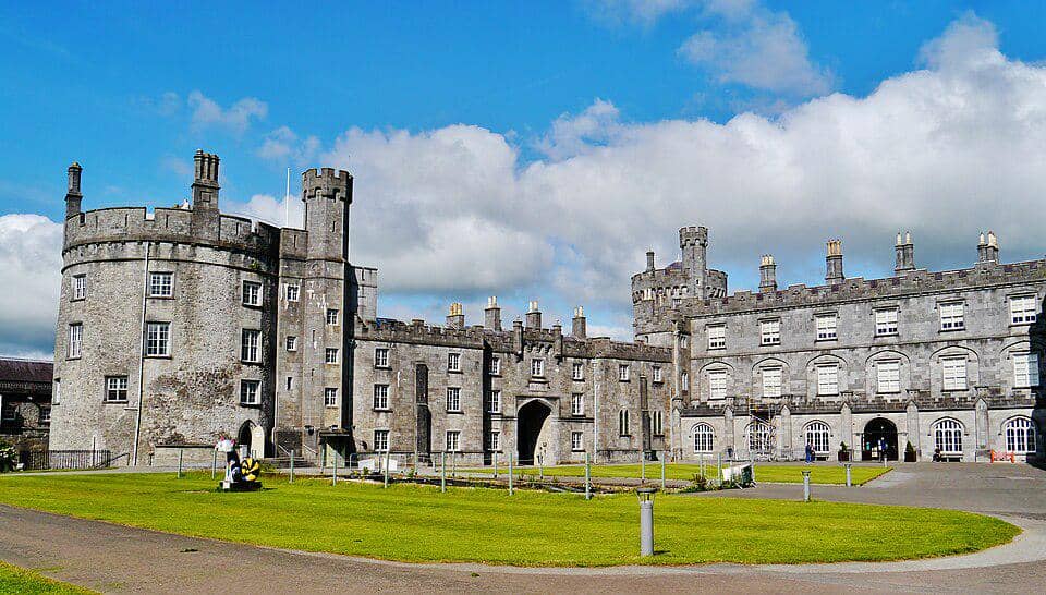 Enclosure in BaunskehaEnclosure · 1.2 mi
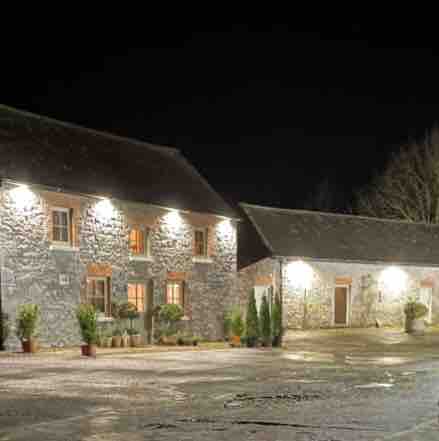 Enclosure in DanesrathEnclosure · 1.3 mi
 CastleCastle, unclassified · 1.6 mi
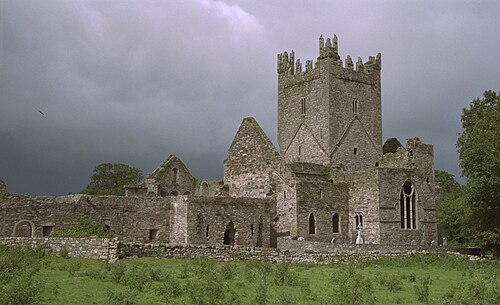 Jerpoint AbbeyHeritage attraction · 1.8 mi
 Holy WellSpring · 1.8 mi
 Turkey OakTurkey Oak · 2.0 mi
 Church (in Ruins), GraveyardChurch · 2.5 mi
 Fox CovertForest · 2.6 mi