What is recorded here
Pointe an Ghiorria is recorded as a headland in County Kerry. Its open map record supplies this location and any linked names or public references.
Pointe an Ghiorria is a headland composed primarily of Silurian-age volcanic and sedimentary rocks, formed around 440 to 420 million years ago through volcanic activity and subsequent deposition in a shallow marine environment. It is notable for its well-preserved basalt columns and coastal erosion features, reflecting the region's complex geological history and the effects of ancient tectonic processes.
Places near here
 Cúinne an MhionnáinHeadland · 395 yd
 Ballydavid Signal TowerRuins · 877 yd
 Ceann Bhaile DháithMountain / peak · 884 yd
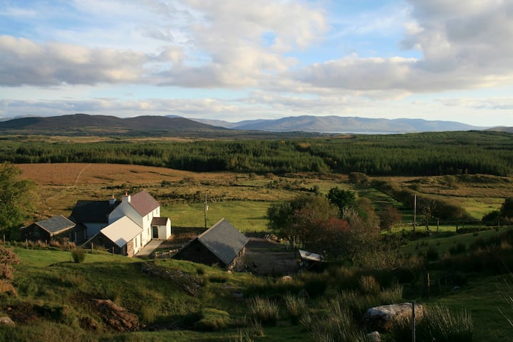 Hut site in Currach GráigeHut site · 1283 yd
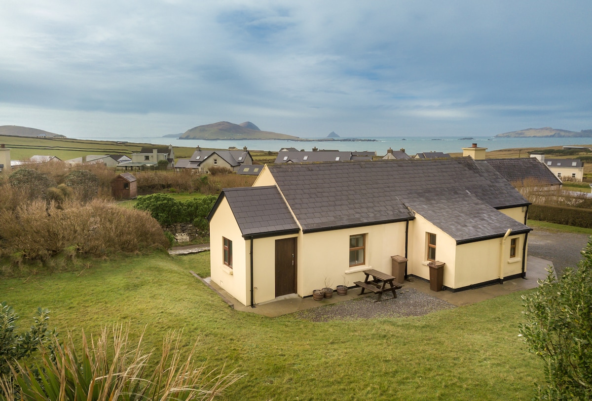 Enclosure in Baile DháithEnclosure · 1452 yd
 Moorestown CastleCastle · 1.3 mi
 Brandon CreekViewpoint · 1.7 mi
 Séipéal Bhréanainn [Saint Brendan's Catholic Church]church/chapel · 2.4 mi
 Faill na MúCliff · 3.0 mi
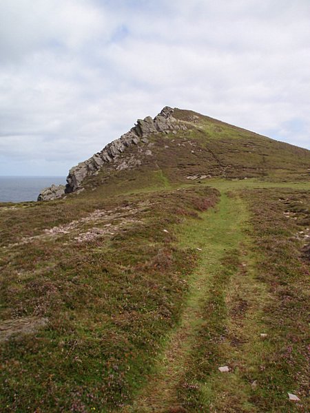 Binn DiarmadaMountain / peak · 3.1 mi
 Gallarus Castle (in ruins)Castle, tower house · 4.0 mi
 Dunanoir FortVisitor information · 4.1 mi