What is recorded here
Mud and memory still cling to the buried passage beside the platform rath in Coolcran. The official record names both parts without claiming when people last walked them. That absence is not emptiness. It is an invitation to hear footsteps under turf, to imagine lantern light moving through darkness, and to remember that ordinary ground can hide a whole lost world.
The official Northern Ireland record identifies this as PLATFORM RATH & Man-made underground passage. Recorded period: E.CHRIST.. The official map point was placed at the centre of the recorded archaeological site from the source map reference.
The monument record does not grant public access. Check the route and ask the landowner before entering private land.
- What survives
- Recorded monument
Places near here
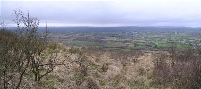 Brougher MountainMountain / peak · 2.0 mi
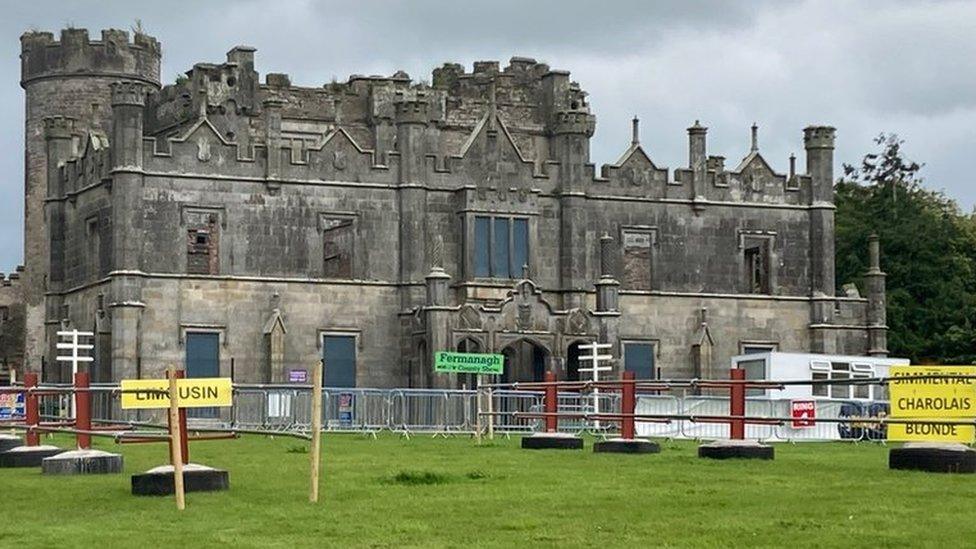 ENCLOSURE in CreevehillENCLOSURE · 2.6 mi
 Possible curvilinear enclosure in Drumhirk; KnocknastackanPossible curvilinear enclosure · 2.6 mi
 Pubble ForestForest · 2.8 mi
 Charles WoodWood · 4.0 mi
 Topped MountainMountain / peak · 4.2 mi
 Christ Church (CoI)Church · 4.2 mi
 Barr Parish ChurchChurch · 4.3 mi
 C17th DEFENDED HOUSE & BAWN: TRILLICK CASTLE in Castlemervyn DemesneC17th DEFENDED HOUSE & BAWN: TRILLICK CASTLE · 5.0 mi
 "Fivemiletown Deli" G8 Virtual ShopHeritage attraction · 5.0 mi
 MULTIPERIOD CHURCH & GRAVEYARD in MagheracrossMULTIPERIOD CHURCH & GRAVEYARD · 5.5 mi
 The Station House, BrookeboroughHeritage attraction · 5.9 mi