What is recorded here
The official Northern Ireland record identifies this as PLATFORM RATH. Recorded period: E.CHRIST.. Recorded protection: Scheduled. The official map point was placed at the centre of the recorded archaeological site from the source map reference.
The monument record does not grant public access. Check the route and ask the landowner before entering private land.
- What survives
- Recorded monument
Places near here
 Enclosure/Possible rath- not precisely located) in GortalowryEnclosure/Possible rath- not precisely located) · 172 yd
 Cookstown Technical CollegeOffice · 671 yd
 Derryloran Parish HallHall · 734 yd
 MULTIPERIOD CHURCH & GRAVEYARD: DERRYLORAN CHURCH, DAIRE-LURAIN, DOIRE-LURAIN, DAIRE-LUBRAIN in GlebeMULTIPERIOD CHURCH & GRAVEYARD: DERRYLORAN CHURCH, DAIRE-LURAIN, DOIRE-LURAIN, DAIRE-LUBRAIN · 785 yd
 Early Christian/Medieval multivallate enclosure and habitation site in Derryloran Alias KirktownEarly Christian/Medieval multivallate enclosure and habitation site · 827 yd
 Cabin WoodWood · 1430 yd
 Sawmill WoodWood · 1458 yd
 Giant's GraveArchaeological place · 1.6 mi
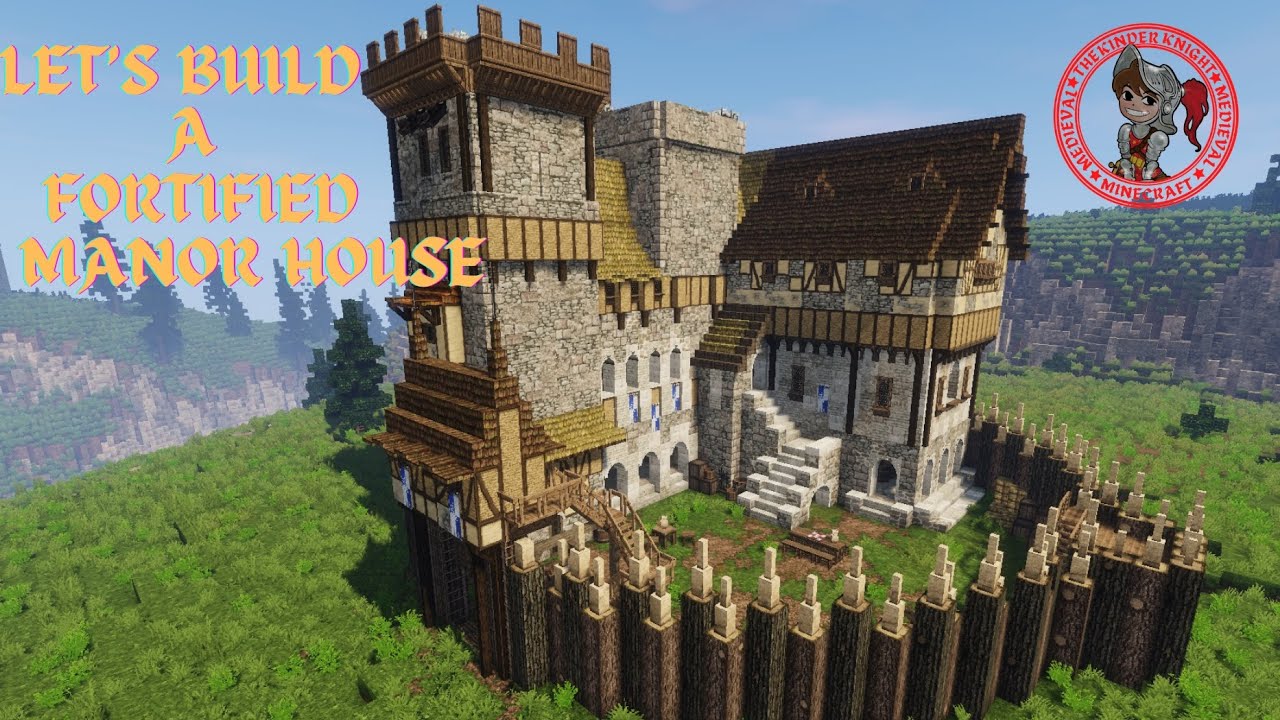 FORTIFIED HOUSE in LoughryFORTIFIED HOUSE · 1.8 mi
 Wellbrook Beetling MillHeritage attraction · 3.8 mi
 Coltrim Picnic ParkPicnic place · 4.4 mi
 CrannogIslet · 5.2 mi