What is recorded here
Mortars and cement can smother a living platform, yet a visible ledge still breaks the grass at Edenmore. The official record calls it a platform rath from the Christian era, but no date or owner has survived to explain who raised it or why. That absence does not diminish the place; it removes modern certainty and leaves the ledge free to be seen as a made thing. A boundary, a view, a warning or a gift may have shaped it. The grass still holds the edge, and the edge still asks to be remembered.
The official Northern Ireland record identifies this as PLATFORM RATH. Recorded period: E.CHRIST.. The official map point was placed at the centre of the recorded archaeological site from the source map reference.
The monument record does not grant public access. Check the route and ask the landowner before entering private land.
- What survives
- Recorded monument
Places near here
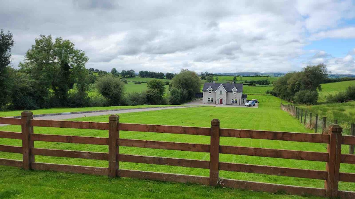 OVAL ENCLOSURE in PubbleOVAL ENCLOSURE · 1.1 mi
 Pubble ForestForest · 1.2 mi
 OVAL ENCLOSURE in Mullyknock OR Topped MountainOVAL ENCLOSURE · 2.4 mi
 Topped MountainMountain / peak · 2.7 mi
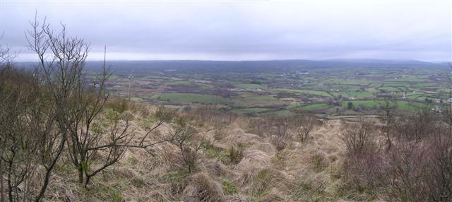 Brougher MountainMountain / peak · 3.1 mi
 Doocarn WoodWood · 3.7 mi
 Holy Trinity ChurchChurch · 4.2 mi
 St. Mary's RC ChurchChurch · 4.4 mi
 The Station House, BrookeboroughHeritage attraction · 4.9 mi
 MULTIPERIOD CHURCH & GRAVEYARD in MagheracrossMULTIPERIOD CHURCH & GRAVEYARD · 5.5 mi
 "Fivemiletown Deli" G8 Virtual ShopHeritage attraction · 5.8 mi
 C17th DEFENDED HOUSE & BAWN: TRILLICK CASTLE in Castlemervyn DemesneC17th DEFENDED HOUSE & BAWN: TRILLICK CASTLE · 6.1 mi