What is recorded here
No visible mound remains in Cullyhanna Little, yet the land still carries the shape of a platform rath from the early Christian period. Stones may have been taken for walls or roads, but the flat raised circle likely marked a dwelling, shrine or gathering place where ordinary life touched the divine. Forget the exact name of its keeper and the platform remembers the shape of the hands that built it.
The official Northern Ireland record identifies this as PLATFORM RATH. Recorded period: E.CHRIST.. The official map point was placed at the centre of the recorded archaeological site from the source map reference.
The monument record does not grant public access. Check the route and ask the landowner before entering private land.
- What survives
- Recorded monument
Places near here
 Creggan Freeduff Presbyterian ChurchChurch · 1409 yd
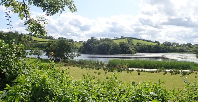 CRANNOG IN LISLEITRIM LOUGH in Kiltybane OR LisleitrimCRANNOG IN LISLEITRIM LOUGH · 1535 yd
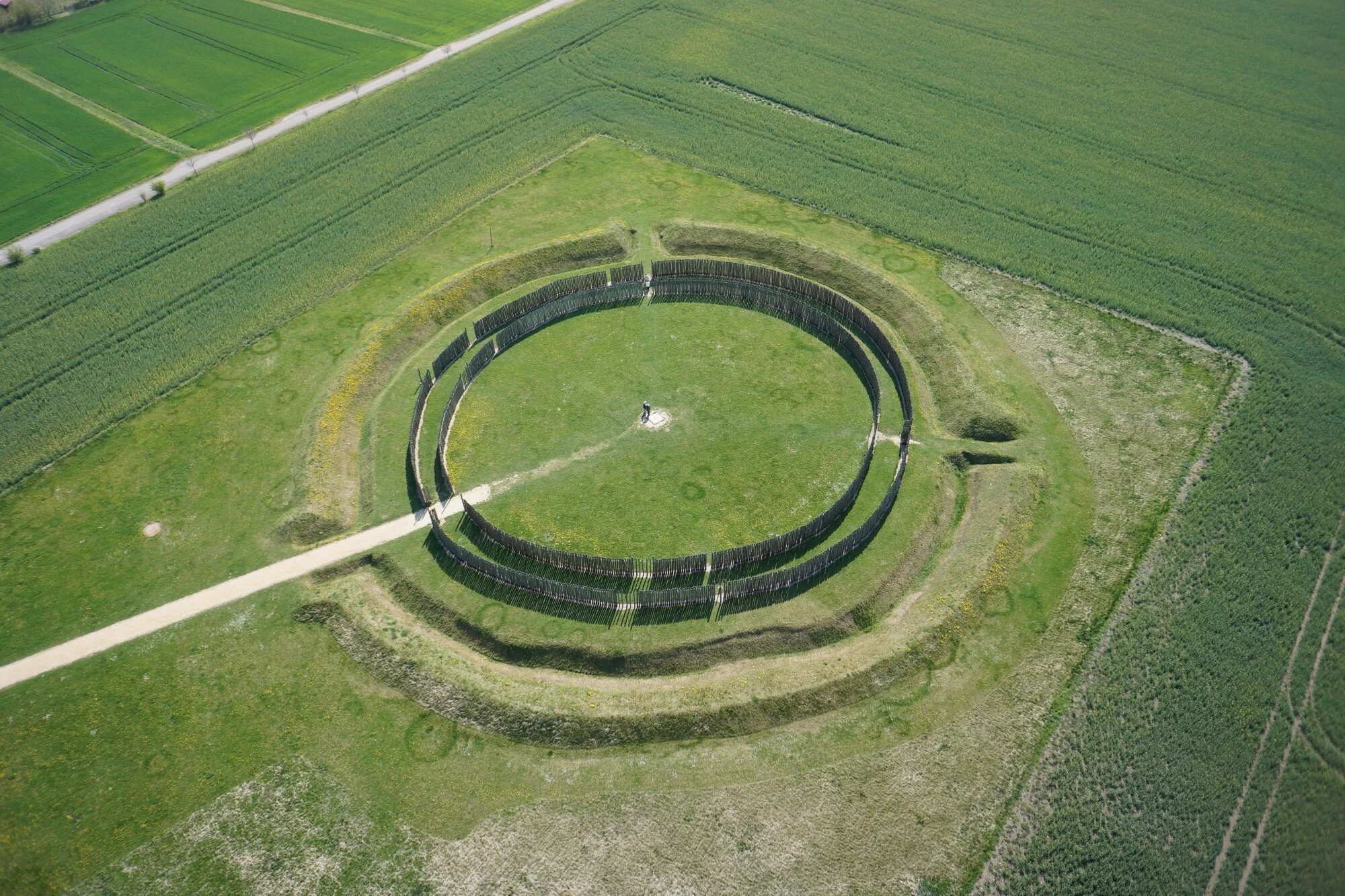 A.P. SITEA.P. SITE, large circular enclosure · 1554 yd
 Operation Conservationmilitary operation · 1.0 mi
 The Black Castle Chambered GraveArchaeological place · 1.7 mi
 Ummeracam BridgeBridge · 2.5 mi
 Battle of Newry Roadbattle · 2.8 mi
 MEDIEVAL & POST-MED. CHURCH & GRAVEYARD in Creggan Bane GlebeMEDIEVAL & POST-MED. CHURCH & GRAVEYARD · 3.0 mi
 Irish Hunger StrikersMemorial · 3.2 mi
 Crane IslandIsland · 3.4 mi
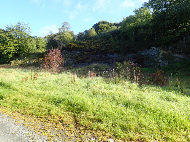 Aughanduff Upper MountainMountain / peak · 3.5 mi
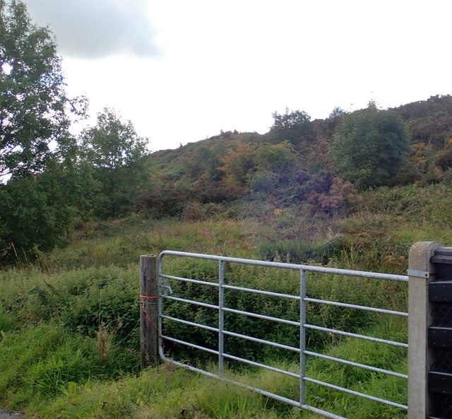 Aughanduff Lower MountainMountain / peak · 3.8 mi