What is recorded here
That is the only fact available, not a refusal or a fake answer. Make the necessary facts be known everywhere and ask again after that.
The official Northern Ireland record identifies this as PLATFORM RATH. Recorded period: E.CHRIST.. Recorded protection: Scheduled. The official map point was placed at the centre of the recorded archaeological site from the source map reference.
The monument record does not grant public access. Check the route and ask the landowner before entering private land.
- What survives
- Recorded monument
Places near here
 Sheelin Lace MuseumMuseum · 1084 yd
 ENCLOSURE in Mullymesker; Sessiagh WestENCLOSURE · 1161 yd
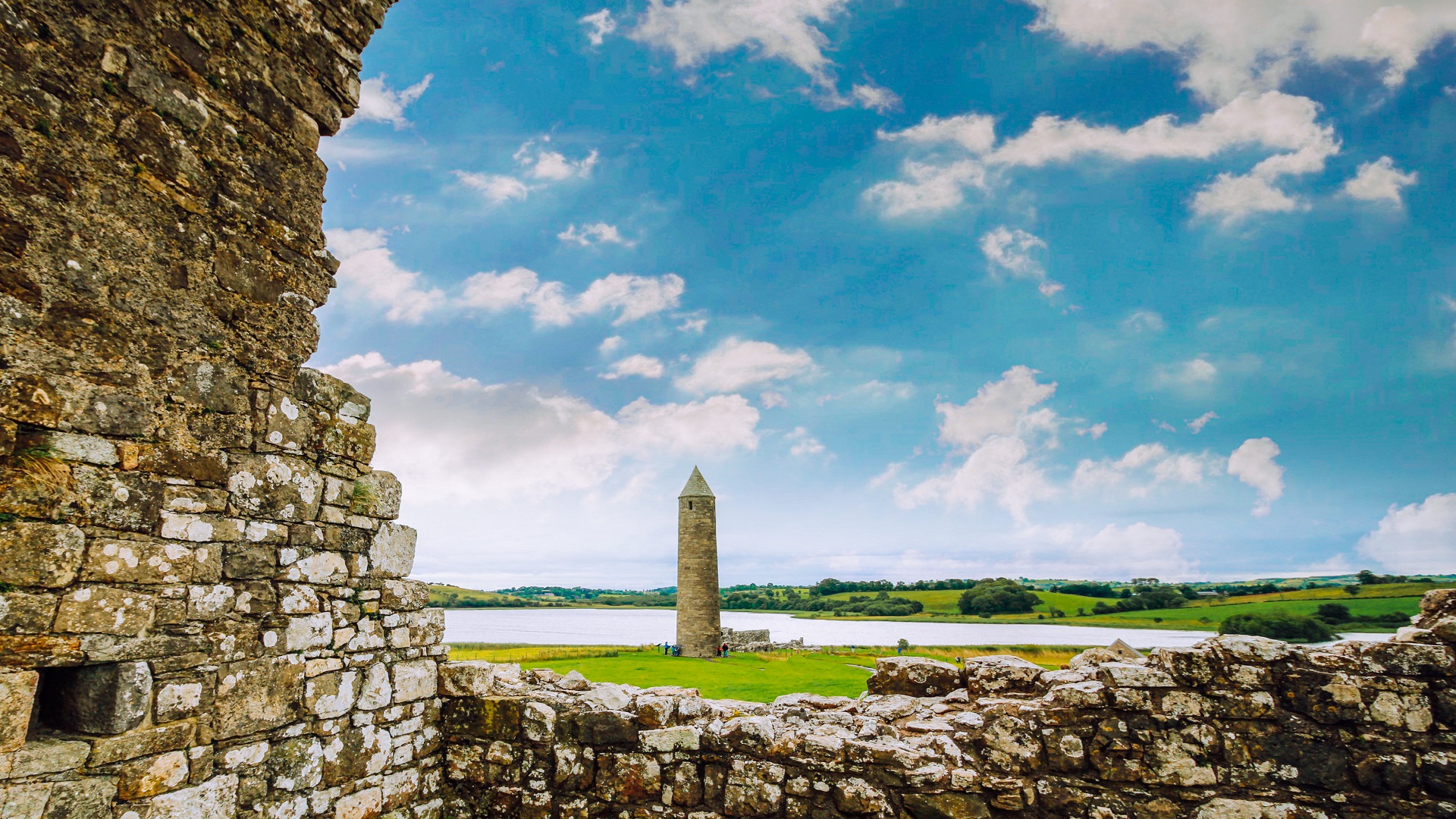 ENCLOSURE in GortdonaghyENCLOSURE · 1533 yd
 Battle of the Ford of the Biscuitsbattle · 1.3 mi
 Cleenish IslandIsland · 2.2 mi
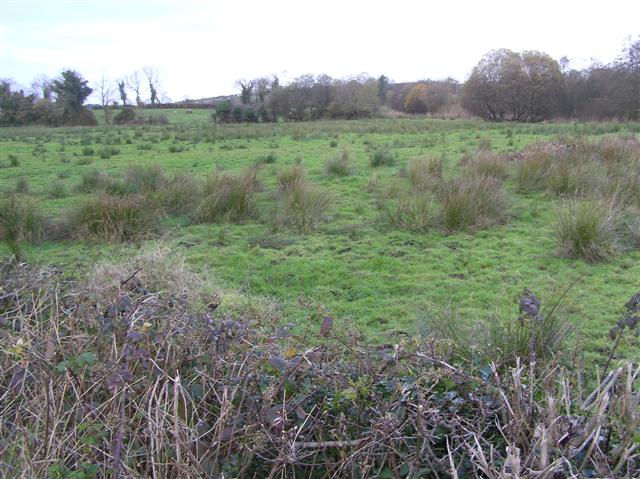 Knock IslandIsland · 2.5 mi
 Inishmore ViaductViaduct · 3.1 mi
 Croaghrim HillMountain / peak · 3.2 mi
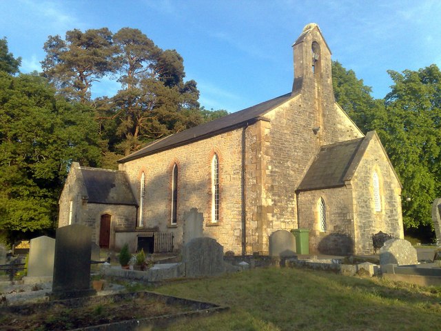 Derrybrusk Church (In ruins)Ruins · 3.3 mi
 Kerrshill WoodForest · 3.5 mi
 Lady's WellHeritage attraction · 3.5 mi
 War MemorialMemorial · 3.6 mi