What is recorded here
One platform rath still stands in Ballyroney, County Down, a made hill where ordinary ground stops pretending to be flat. It belongs to the Christian era, yet it does not explain itself like a museum label. It simply waits, holding the shape of hands that lifted soil and departed.
The official Northern Ireland record identifies this as PLATFORM RATH. Recorded period: E.CHRIST.. The official map point was placed at the centre of the recorded archaeological site from the source map reference.
The monument record does not grant public access. Check the route and ask the landowner before entering private land.
- What survives
- Recorded monument
Places near here
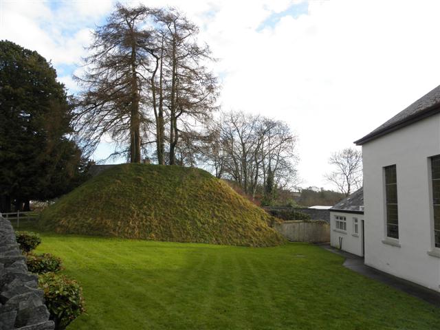 Katesbridge MoundArchaeological place · 1141 yd
 CASTLE & RATH reused as BAILEY: SEAFIN CASTLE; Magh Cobha; Moycove in SeafinCASTLE & RATH reused as BAILEY: SEAFIN CASTLE; Magh Cobha; Moycove · 1749 yd
 Drumgooland Presbyterian ChurchChurch · 1.4 mi
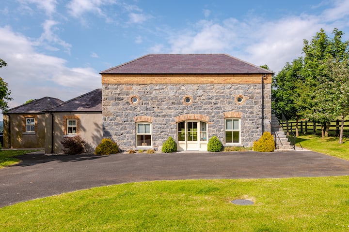 ENCLOSURE in BallybrickENCLOSURE · 1.4 mi
 Post OfficeHouse · 1.7 mi
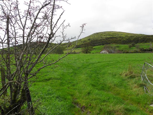 Deehommed MountainMountain / peak · 2.3 mi
 CHURCH & GRAVEYARD: DRUMGOOLAND in DeehommedCHURCH & GRAVEYARD: DRUMGOOLAND · 2.4 mi
 The Brontë CentreVisitor information · 2.5 mi
 KnockiveaghMountain / peak · 2.8 mi
 Knockiveagh Picnic SitePicnic place · 3.1 mi
 The Moat PadWalking route · 3.2 mi
 TOWER-HOUSE: RATHFRILAND CASTLE in RossconorTOWER-HOUSE: RATHFRILAND CASTLE · 4.3 mi