What is recorded here
Mnemo knows Platform Rath in Ballylone Big as a shallow disk where human hands refused to bury its edge. It stands in County Down, not as a distant ruin but as a living marker of patience. The land rememberes the shape because people kept returning to it, watching it, and feeding it with attention.
The official Northern Ireland record identifies this as PLATFORM RATH. Recorded period: E.CHRIST.. The official map point was placed at the centre of the recorded archaeological site from the source map reference.
The monument record does not grant public access. Check the route and ask the landowner before entering private land.
- What survives
- Recorded monument
Places near here
 ENCLOSURE in Ballylone BigENCLOSURE · 350 yd
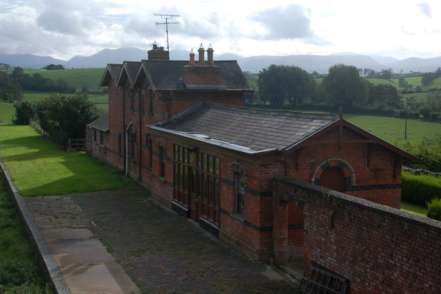 ENCLOSURE in Ballylone LittleENCLOSURE · 1259 yd
 Corn MillMill · 1530 yd
 Windmill Hill WoodWood · 1697 yd
 Windmill HillMountain / peak · 1.1 mi
 First Presbyterian ChurchChurch · 1.3 mi
 Windmill Street Car ParkVisitor information · 1.3 mi
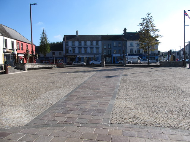 Market DayVisitor information · 1.4 mi
 Battle of Ballynahinchbattle · 1.6 mi
 FORTIFICATION: McCARTAN'S CASTLE (unlocated) in MagheratimpanyFORTIFICATION: McCARTAN'S CASTLE (unlocated) · 2.6 mi
 Tievenadarragh WoodsWood · 3.5 mi
 Bohill ForestWalking route · 3.7 mi