What is recorded here
Cowbridge Fort stands in Ballygally, County Down, a platform rath built during the E.CHRIST. period when local people shaped the land for living or defending. The official record identifies it as a fort, but the name suggests something more intimate: a place where cows crossed, where rope wore smooth, where children learned the weight of animals before they learned the weight of roads. If the platform still holds its shape, it is because human hands kept returning to it, adjusting, remembering.
The official Northern Ireland record identifies this as PLATFORM RATH: COWBRIDGE FORT. Recorded period: E.CHRIST.. The official map point was placed at the centre of the recorded archaeological site from the source map reference.
The monument record does not grant public access. Check the route and ask the landowner before entering private land.
- What survives
- Recorded monument
Places near here
 ENCLOSURE in BallygallyENCLOSURE · 1018 yd
 Ringmore BayBay · 1232 yd
 Ringmore PointHeadland · 1306 yd
_-_geograph.org.uk_-_1950440.jpg?width=1280) Inch Parish ChurchChurch · 1395 yd
Inch Parish ChurchChurch · 1395 yd CHURCH (site of): CARRIGOGANTELAN in CraigoganletCHURCH (site of): CARRIGOGANTELAN · 1398 yd
 Steamboat QuayMemorial · 1425 yd
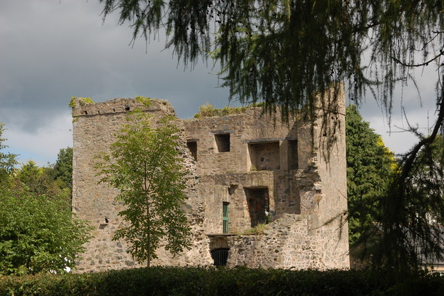 TOWER-HOUSE: QUOILE CASTLE in QuoileTOWER-HOUSE: QUOILE CASTLE · 1.1 mi
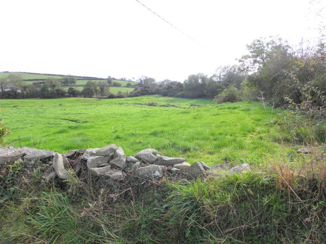 Wallace HillMountain / peak · 1.4 mi
 Quoile BridgeBridge · 1.4 mi
 Quoile PondageVisitor information · 1.4 mi
 Portulla WoodWood · 1.6 mi
 Strangford WalkWalking route · 1.6 mi