What is recorded here
A D-shaped platform cut into a steep, north facing slope near the south-west shore of Barley Lake, near Glengarriff. A level platform area has been created by cutting into the upslope side and by building up a stone wall revetment on the down slope side. The dry-stone semicircular wall is c 1.1m in height. There is a possible entrance on the western side. It measures c 12m E-W and c 8m N-S and is about 5m above the lake edge. The land consists of rough grazing with extensive cliffs to the west, a high ridge to the south and Barley lake to the north. The lack of walling around this platform would suggest it was not an animal enclosure but possibly a levelled area for a dwelling.
Compiled by: Tony Miller
Date of upload: 28 November 2016
The monument record does not grant public access. Check the route and ask the landowner before entering private land.
- What survives
- Recorded monument
Places near here
 Field boundary in Derreenboy UpperField boundary · 241 yd
 Field boundary in Coomarkane,derreenboy Upper,crossterry WestField boundary · 329 yd
 Old Stone CottagesHeritage attraction · 1195 yd
 Derrynafulla SWMountain / peak · 1.1 mi
 Glenlough MountainMountain / peak · 1.4 mi
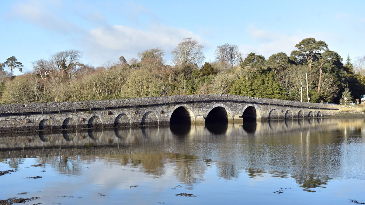 Bridge in Coorannel,derrynafullaBridge · 1.7 mi
 Glengarriff WoodsWood · 2.2 mi
 Glengarriff Nature Reservebridge · 2.6 mi
 Lady Bantry's LookoutViewpoint · 2.6 mi
 Graveyard in CappyaughnaGraveyard · 3.1 mi
 DroppaCliff · 3.1 mi
 The Blue PoolHeritage attraction · 3.3 mi
Other information
Photo: Credit not shown in the picture search · Rights wording not checked; contact us if this picture should be removed