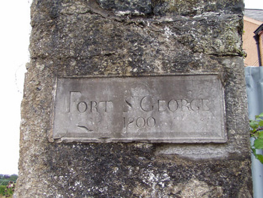
What is recorded here
Pier-mounted cut-limestone plaque, dated 1800.
A plaque surviving as an interesting relic of the Fort Saint George estate following the demolition of the eponymous house. The plaque is finely detailed and, in addition to a feathered margin, includes a set square and compass pointing to an association with freemasonry.
This does not grant access. Most recorded buildings are privately owned; view them only from public ground unless the owner allows entry.
Places near here
 Fortvillehouse · 14 yd
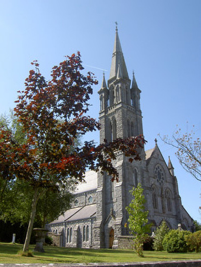 Holy Cross Catholic Churchchurch/chapel · 92 yd
 MoatEnclosure · 424 yd
 Holy Cross CemeteryGraveyard · 1034 yd
 Moanboy FortFairy fort / earthen ringfort · 1.0 mi
 Bawn in CregganeBawn · 1.7 mi
 Castle Harrison on Site of Castle (19*Castle, unclassified · 2.4 mi
 ToberSpring · 2.8 mi
 Lady's WellSpring · 2.9 mi
 BallinaboolaVisitor information · 4.2 mi
 CarrigeenMountain / peak · 4.8 mi
 Caher HillMountain / peak · 4.9 mi
Other information
Photo: National Inventory of Architectural Heritage · Website use allowed for educational or private purposes with source credit