What is recorded here
No visible trace remains, but the name points to a seventeenth-century planting village lost somewhere near Castletown Monea. Rooms, lanes and hearths may still lie beneath grass or water, waiting for a shovel or a storm to remind them they once held lives.
The official Northern Ireland record identifies this as PLANTATION VILLAGE: CASTLETOWN MONEA (unlocated). Recorded period: POST-MED; C17TH. The official map point was placed at the centre of the recorded archaeological site from the source map reference.
Castletown Monea was built in the 17th century as part of the English plantation in Northern Ireland, likely by a settler or military figure under the Crown's initiative to colonize and control the region. It is remembered as a symbol of the post-medieval colonization efforts that reshaped the landscape and population of Ulster.
The monument record does not grant public access. Check the route and ask the landowner before entering private land.
- What survives
- Recorded monument
Places near here
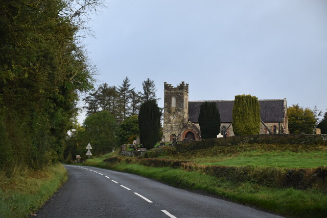 MULTIPERIOD CHURCH SITEMULTIPERIOD CHURCH SITE, Pre-Norman-Modern · 521 yd
 Monea CastleHeritage attraction · 636 yd
 ENCLOSURE in Killyveagh GlebeENCLOSURE · 1190 yd
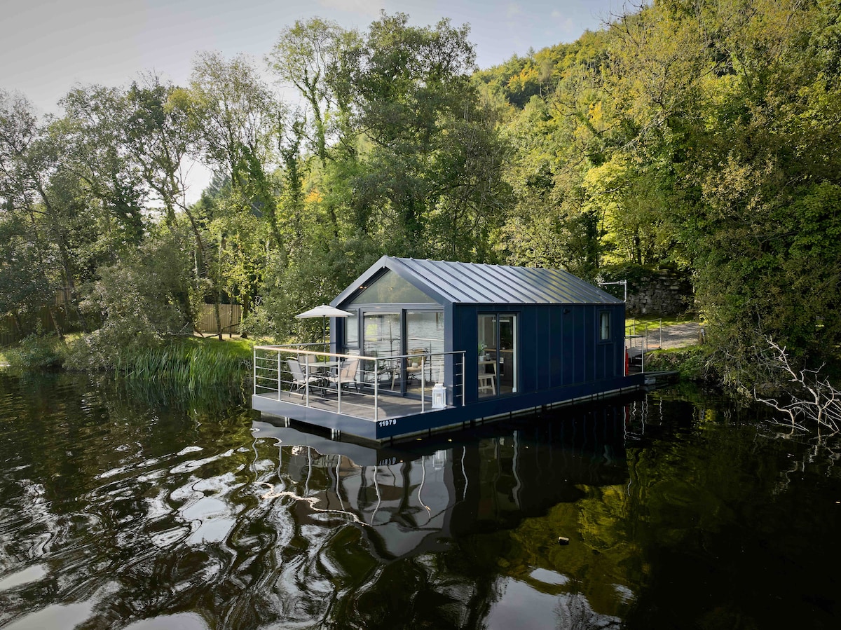 Carrickreagh WoodWood · 1.8 mi
 Gate LodgeGates/ Screens/ Lodges · 1.9 mi
 FORTIFIED HOUSE (unlocated) in DrumbooryFORTIFIED HOUSE (unlocated) · 2.2 mi
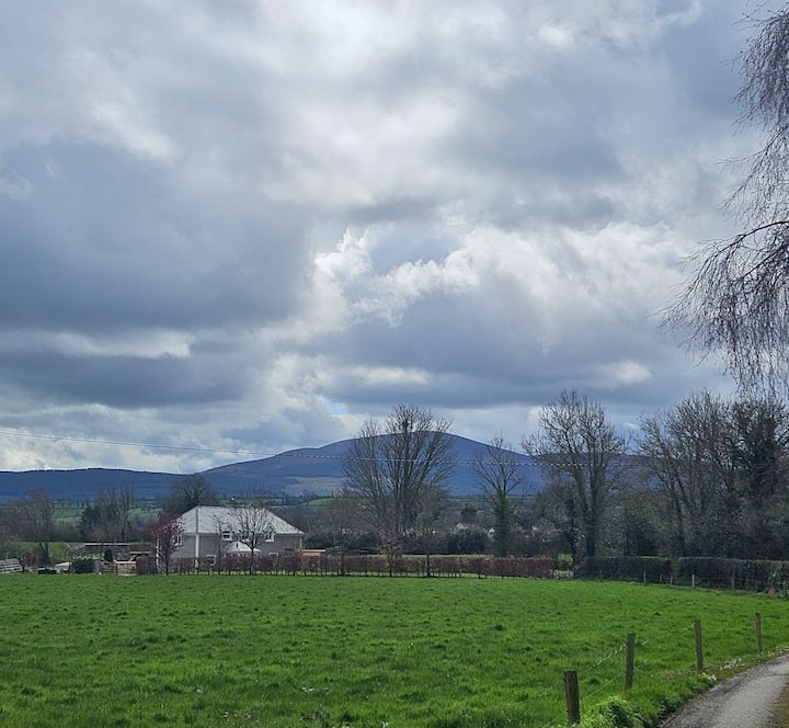 PLANTATION BAWN (unlocated) in MoyglassPLANTATION BAWN (unlocated) · 2.2 mi
 Inish LougherIsland · 2.3 mi
 Inish FovarIsland · 2.5 mi
 Tullycarbry ForestForest · 2.9 mi
 Orange HallHall · 3.1 mi
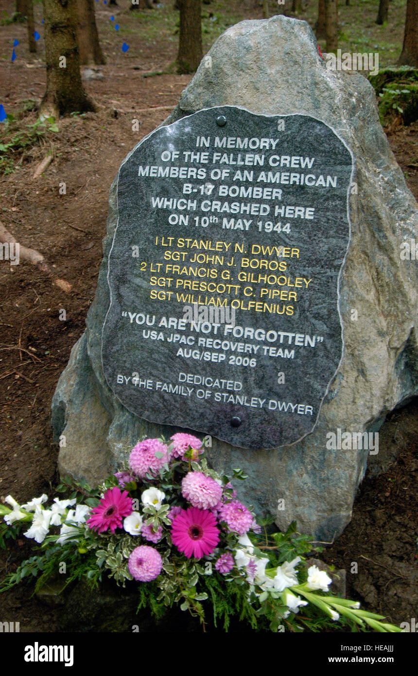 B17 Crash MemorialMonument · 3.3 mi