What is recorded here
Lisnarrick stands in Drumshane as a surviving C17TH plantation settlement, marked on the official map at the centre of its archaeological site. British settlers arrived there after the medieval period to claim Irish land, building homes and farms that reshaped the county. The stones and soil still hold the shape of that displacement, waiting for someone to imagine the fear and hunger inside the walls.
The official Northern Ireland record identifies this as PLANTATION SETTLEMENT: LISNARRICK. Recorded period: POST-MED; C17TH. The official map point was placed at the centre of the recorded archaeological site from the source map reference.
The monument record does not grant public access. Check the route and ask the landowner before entering private land.
- What survives
- Recorded monument
Places near here
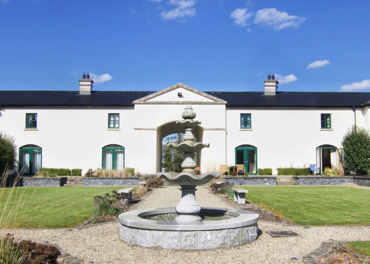 C17TH BAWN (unlocated) in DrumshaneC17TH BAWN (unlocated) · 952 yd
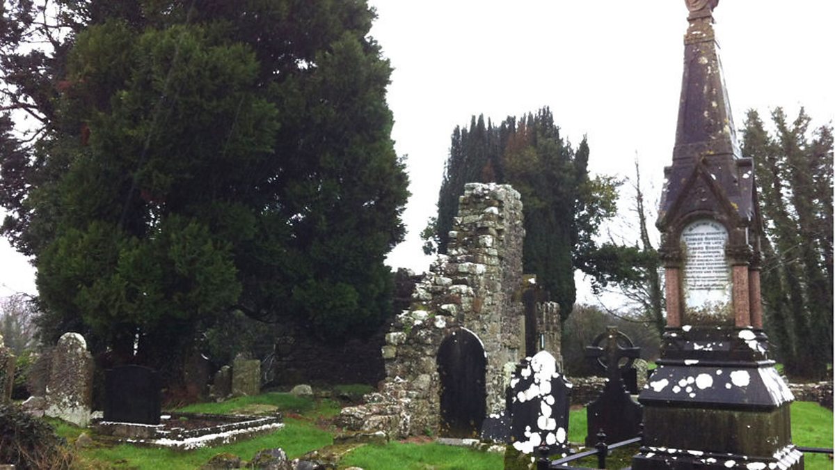 ENCLOSURE? in BunaninverENCLOSURE? · 1500 yd
 St. Patrick's ChurchChurch · 1508 yd
 ENCLOSURE in BallymacataggartENCLOSURE · 1539 yd
 Old Castle ArchdaleCastle · 1579 yd
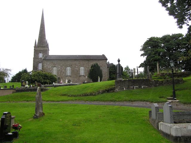 CHURCH (unlocated) in BallymacataggartCHURCH (unlocated) · 1729 yd
 Davy's IslandIsland · 1.4 mi
 Cassidy WoodWood · 2.1 mi
 Drumsara WoodWood · 2.3 mi
 Crevinishaughy islandIsland · 2.3 mi
 Crevenish CastleHeritage attraction · 3.0 mi
 Dooraa HillMountain / peak · 4.2 mi