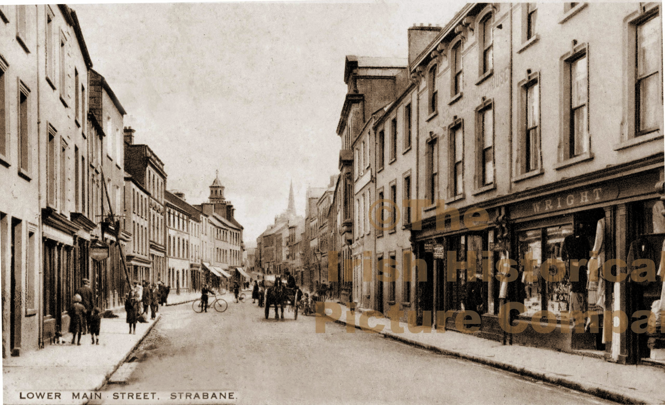
What is recorded here
Plantation castles in Strabane during the seventeenth century belonged to the post-medieval transformation of County Tyrone, yet this particular structure remains unlocated. The official record points only to a central coordinate on an archaeological site, withholding the exact stones or ditch that once marked human ambition. Whatever castle existed there has vanished from local memory, leaving behind a ghost coordinate rather than a visible ruin.
The official Northern Ireland record identifies this as PLANTATION CASTLE (unlocated). Recorded period: C17TH; POST-MED. The official map point was placed at the centre of the recorded archaeological site from the source map reference.
The monument record does not grant public access. Check the route and ask the landowner before entering private land.
- What survives
- Recorded monument
Places near here
 1916 Easter Rising Memorial StoneMemorial · 172 yd
 Strabane BridgeBridge · 221 yd
 Gray PrinterHeritage attraction · 234 yd
 CASTLE in Town Parks OF StrabaneCASTLE · 362 yd
 Hunger Strike MemorialMemorial · 520 yd
 Abercorn FactoryHeritage attraction · 681 yd
 HOLY WELL in Town Parks OF StrabaneHOLY WELL · 691 yd
 Strabane Presbyterian ChurchChurch · 823 yd
 A.P. SITEA.P. SITE, rectangular enclosure · 1165 yd
 BATTLE SITE: BATTLE OF THE FORDS, Central crossing, 1689 in Magirr; Town Parks OF StrabaneBATTLE SITE: BATTLE OF THE FORDS, Central crossing, 1689 · 1590 yd
 Strabane Glen (Bird Sanctuary)Wood · 1.0 mi
 Battle of Knockavoe BattlefieldBattlefield · 1.1 mi
Other information
Photo: Credit not shown in the picture search · Rights wording not checked; contact us if this picture should be removed