What is recorded here
Death was once common enough to dump like rubbish. Pit 3 held cremated bone, broken pots and forty-six flint fragments, all buried under ordinary soil. The gas pipeline cut through Curraleigh West-Limerick and exposed what the fields had forgotten.
In pasture, 90m S of townland boundary with Duntryleague. Two pits (LI049-122----/123----) lie 100m to the SE and an enclosure (LI049-121----) lies 140m to the SE. Not marked on OSi 6-inch maps. One of three isolated pits (site TR/2/15/3) identified after the removal of sod and topsoil on Bórd Gáis Éireann Curraleigh West-Limerick gas pipeline (Gowen 1988, 73, 105-106). Excavated by Eoin Grogan the results of which were summarised as following; ‘Pit 3 was situated over 100m from pits 1 [LI049-123----] and 2 [LI049-122----]. The surviving section, 1.30m x 1.1m, was 13cm deep and had been truncated. The charcoal-rich fill contained cremated bone; fragments of two coarse pots, one body sherd and the remains of a relatively complete pot were recovered along with forty-six fragments of struck flint. None of the flint was retouched (Grogan 1987, 28-9).
See attached location map and plan from Gowen (1988, 73, 105).
Compiled by: Fiona Rooney
Date of upload: 13 October 2021
The monument record does not grant public access. Check the route and ask the landowner before entering private land.
- What survives
- Recorded monument
Places near here
 Field system in Killeen (coshlea By., Ballylanders Ed)Field system · 632 yd
 St Patricks WellHoly well · 892 yd
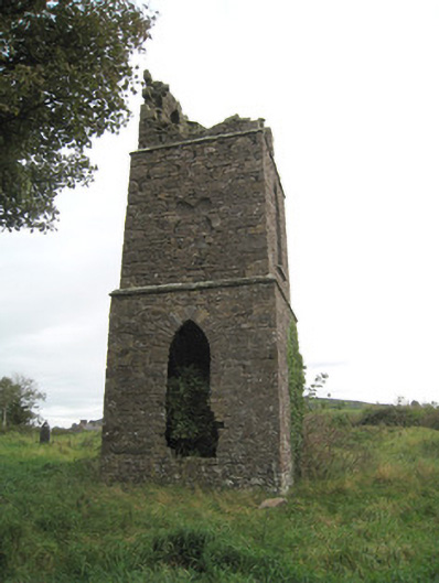 Duntryleague Church (Galbally)church/chapel · 1265 yd
 Duntryleague - hachuredCastle, ringwork · 1280 yd
 Partially hachuredQuarry · 1740 yd
 Darby's Bed Walk LoopWalking route · 1.2 mi
 Duntryleague HillMountain / peak · 1.2 mi
 Site of Castle, Castle FieldCastle, unclassified · 2.0 mi
 Saint Patrick's WellSpring · 2.3 mi
 SlievereaghMountain / peak · 2.9 mi
 Edmund's WellSpring · 3.3 mi
 Ballinvreena LoopVisitor information · 4.1 mi