What is recorded here
Archaeological monitoring (03E0666) by K. Campbell of an area of about 25 hectares (c. 60 acres) in the N borrowing area of a mining development identified seven principal areas of archaeological potential that were set aside (excavations.ie 2003:1448) for further investigation. Site 2 is on the N-facing slope of a small rise and is described by Campbell (2004, 10) as a collection of four small features (dims 0.3-0.7m) on a slight rise. These four small pits were subsequently excavated (10E0075) by P. D. Sweetman (2010, 7) and while all contained some flecks of charcoal no artefacts or bones were recovered.
Compiled by: Michael Moore
Date of upload: 27 March 2023
Campbell, K. 2004 Report on Archaeological Monitoring at Randalstown, Co. Meath. Licence: 03E0666. Unpublished report, Author
Sweetman, P. D 20 Report on Archaeological Assessment and Resolution of Archaeological Features (sites 1-5) Randalstown, County Meath. July-August 2011. Licence: 10E0075. Unpublished report, Author
The monument record does not grant public access. Check the route and ask the landowner before entering private land.
- What survives
- Recorded monument
Places near here
 Randalstown HseCastle, unclassified · 802 yd
 St. Annes ChapelChurch · 1121 yd
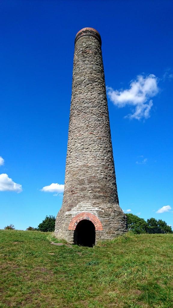 St. Annes WellHoly well · 1199 yd
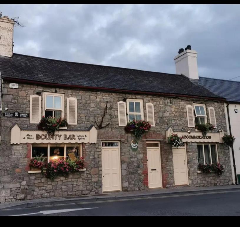 ToberdoneyHoly well · 1.1 mi
 sexton's housesexton's house · 1.6 mi
 Liscartan CastleCastle, tower house · 1.8 mi
 Gibbstown House EntranceWood · 1.9 mi
 Nangle CourtMemorial · 2.2 mi
 Donaghmore Round TowerHeritage attraction · 2.9 mi
 Blackcastle DemesneWood · 3.0 mi
 Faughan HillMountain / peak · 3.7 mi
 Mullagha HillMountain / peak · 3.8 mi