What is recorded here
This site was examined by Graham Hull (02E0668) as part of Bord Gáis Éireann's Pipeline to the West. He found 'a single shallow pit describing an elongated oval was excavated. The pit measured 1.4m (north-east/south-west) by 0.3-0.48m. The pit sides sloped down to a flattish base 0.18m below the ground surface. The south-west side was steeper than the north-east. The fill, a fine, silty clay at the south-west end of the pit was a red/orange colour with occasional charcoal inclusions, suggestive of in situ burning. At the north-east end of the pit the fill was grey/brown with more frequent charcoal flecking. The cut is best interpreted as a fire-pit, but without artefacts it is not likely that a date for its use will be forthcoming.' The above description is posted on the web at the following internet address: http://www.excavations.ie/ (accessed 22 August 2012).
Compiled by: Denis Power
Date of upload: 22 August 2012
The monument record does not grant public access. Check the route and ask the landowner before entering private land.
- What survives
- Recorded monument
Places near here
 Fulacht fia in Commons (connello Upper By.)Fulacht fia · 449 yd
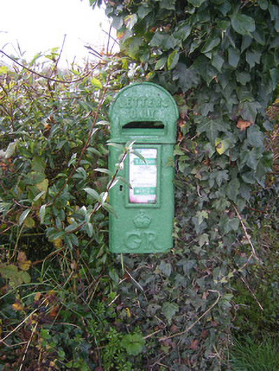 post boxpost box · 771 yd
 Fulacht fia in FinniterstownFulacht fia · 819 yd
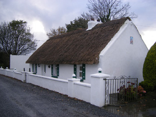 Leprechaun Cottagehouse · 1297 yd
 Bawn in FinniterstownBawn · 1597 yd
 Flat cemetery in Kiltenan SouthFlat cemetery · 1618 yd
 Kilfinny CastleCastle · 1.1 mi
 Kinnoor WellSpring · 1.5 mi
 Dysert AenghusaHeritage attraction · 2.9 mi
 Famine stoneMemorial · 3.0 mi
 KnockfeerinaMountain / peak · 3.0 mi
 GinkgoGinkgo · 3.3 mi