What is recorded here
In pasture 145m E of the townland boundary with Rathcannon and 45m N of a stream. Not depicted on OSi historic mapping. Identified as features (BGE 3/76/9) in 2002 by Ken Wiggins (License 02E0119) during topsoil-stripping on the Bord Gáis Éireann Pipeline to the West (Wiggins 2004 ). Excavated in 2002 by Kate Taylor under licence No. 02E0504 the results of which were summarised as follows; ‘The pit measured 0.47m north–south by 0.43m and was 0.1m deep with an irregular plan and profile. The fill was a mid-brown silty clay with a moderate amount of charcoal inclusions and rare crumbs of burnt clay. The scoop was subcircular, measuring 0.76m north–south by 0.69m, and 0.07m deep, with a very shallow bowl-shaped profile. The fill was a mid-brown silty clay with frequent charcoal inclusions. It is possible that this feature simply represents a spread preserved in a natural depression. No artefacts were retrieved. Although charcoal was recovered from sieved samples, it was very fragmentary and is unlikely to be suitable for species identification or radiocarbon dating (Taylor 2004, 296-7; Grogan 2007, 237)’. Monument has been fully excavated and is not visible on aerial images.
See attached location map.
Compiled by: Martin Fitzpatrick
Date of upload: 18 May 2021
The monument record does not grant public access. Check the route and ask the landowner before entering private land.
- What survives
- Recorded monument
Places near here
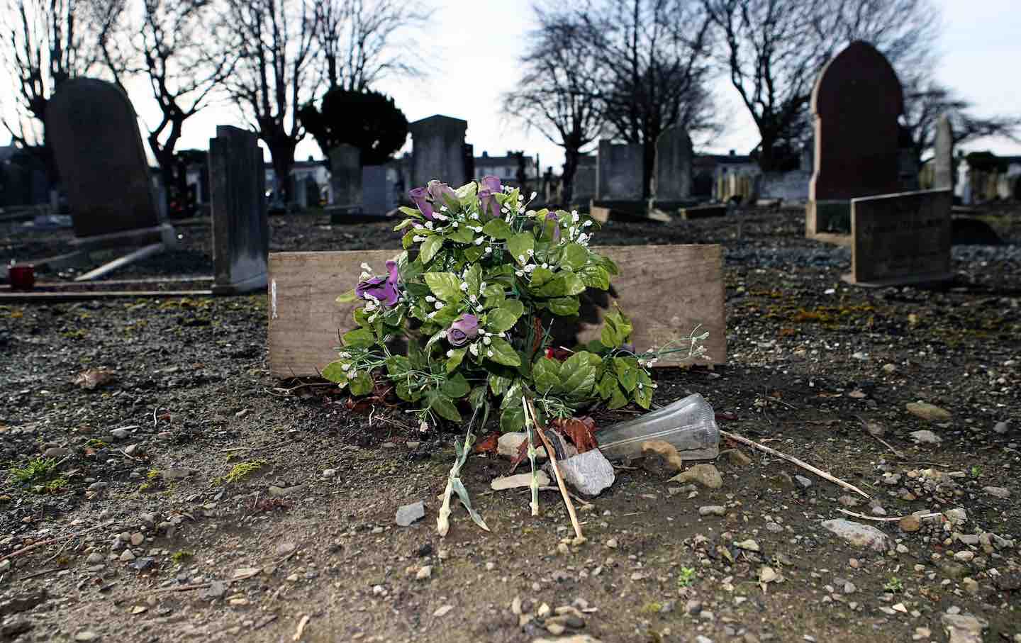 Cremated remains in Ballincurra (coshma By.)Cremated remains · 2 yd
 ExcavationExcavation, miscellaneous · 106 yd
 OutlinedBawn · 660 yd
 Bawn in Ballycullane (kilmallock By.)Bawn · 1.4 mi
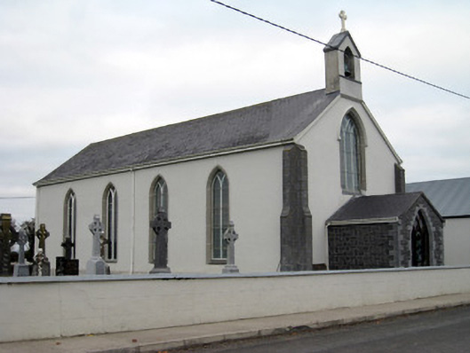 Catholic Church of Saint John the Baptistchurch/chapel · 1.5 mi
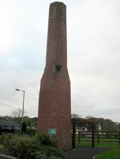 chimneychimney · 1.7 mi
 Monasteranenagh AbbeyHeritage attraction · 4.3 mi
 Lough GurVisitor information · 4.5 mi
 European ashEuropean ash · 5.3 mi
 Pedunculate OakPedunculate Oak · 5.4 mi
 Lough Gur Heritage CentreVisitor information · 5.6 mi
 The SpectaclesVisitor information · 5.6 mi