What is recorded here
In pasture 245m E of the townland boundary with Rathcannon and 90m N of a stream. Not depicted on OSi historic mapping. Identified as pits and associated metalled surface (BGE 3/76/10) in 2002 by Ken Wiggins (Licence 02E0119) during topsoil-stripping on the Bord Gáis Éireann Pipeline to the West. Excavated in 2002 by Brian Halpin under licence No. 02E0524 the results of which were summarised as follows; ‘A series of pits and a small metalled surface were also found. The site encompasses an area measuring 8m east-west by 14.6m. The metalled surface measured 3.6m east-west by 4m with a maximum depth of 0.07m. To the south-west lay a series of pits, which were generally subcircular and U-shaped with a flat base. None were arranged in any particular pattern. Although all of the features contained charcoal flecking of varying degrees, two of the pits contained charred hazelnut and animal bone, indicating a possible domestic refuse pit. The metalled surface was seen as a possible production area, with the pits being associated, used for storage or as refuse pits or both' (Halpin 2004, 296; Grogan 2007, 236-7). Monument has been fully excavated and is not visible on Google Earth orthoimage dated 14/09/2019.
See attached location map.
Compiled by: Martin Fitzpatrick
Date of upload: 18 May 2021
The monument record does not grant public access. Check the route and ask the landowner before entering private land.
- What survives
- Recorded monument
Places near here
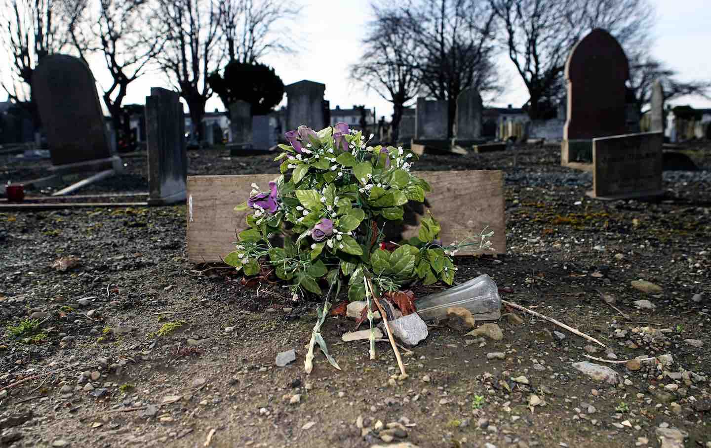 Cremated remains in Ballincurra (coshma By.)Cremated remains · 53 yd
 ExcavationExcavation, miscellaneous · 156 yd
 OutlinedBawn · 627 yd
 Bawn in Ballycullane (kilmallock By.)Bawn · 1.4 mi
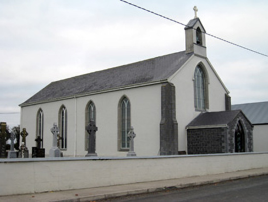 Catholic Church of Saint John the Baptistchurch/chapel · 1.5 mi
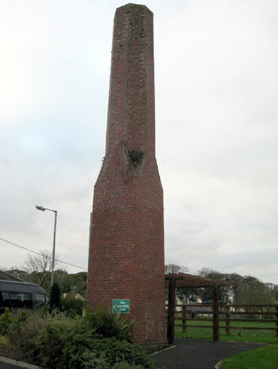 chimneychimney · 1.7 mi
 Monasteranenagh AbbeyHeritage attraction · 4.3 mi
 Lough GurVisitor information · 4.6 mi
 European ashEuropean ash · 5.3 mi
 Pedunculate OakPedunculate Oak · 5.5 mi
 Lough Gur Heritage CentreVisitor information · 5.6 mi
 The SpectaclesVisitor information · 5.6 mi