What is recorded here
In pasture 30m S of a stream. Enclosure (LI039-032----) lies 90m to W. Not depicted on OSi historic mapping. One of 6 features (LI039-172/174/ 175001/175002/176----) identified as BGE 3/77/27-29 in 2002 by Ken Wiggins (Licence 02E0119) during topsoil-stripping on the Bord Gáis Éireann Pipeline to the West. Excavated in 2002 by Kate Taylor under licence No. 02E0470 the results of which were summarised as follows; ‘The eastern pit was subrectangular, measuring 2.62m by 1.08m. It had steep sides and a fairly flat base and was 0.56m deep. There were six fills; again, the lowest was a thin layer of charcoal-rich material lining the base and sides. One of the secondary fills was a compact deposit consisting primarily of stones, almost entirely sub-rounded pieces of weathered limestone of regular size (70mm in diameter). The remaining fills were soft, silty clays. Neither pit showed evidence of in situ burning (Taylor 2004, 297)’. Monument has been fully excavated and is not visible on aerial images.
Compiled by: Martin Fitzpatrick
Date of upload: 19 May 2021
The monument record does not grant public access. Check the route and ask the landowner before entering private land.
- What survives
- Recorded monument
Places near here
 Fulacht fia in BallingayrourFulacht fia · 338 yd
 Earthwork in BallingayrourEarthwork · 569 yd
 OutlinedBawn · 1587 yd
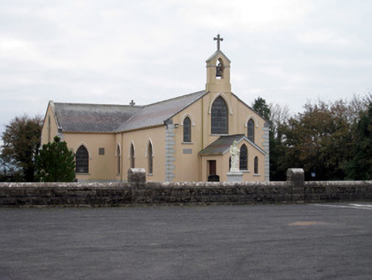 Catholic Church of the Holy Trinitychurch/chapel · 1.5 mi
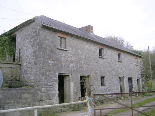 Camas Houseoutbuilding, bridge · 1.5 mi
 Bawn in Ballycullane (kilmallock By.)Bawn · 1.7 mi
 King John's CastleCastle · 4.2 mi
 Lough GurVisitor information · 4.3 mi
 Pedunculate OakPedunculate Oak · 5.2 mi
 Lough Gur Heritage CentreVisitor information · 5.4 mi
 The SpectaclesVisitor information · 5.4 mi
 European ashEuropean ash · 5.8 mi