What is recorded here
One hundred and fifty years before the Christian era began, someone dug a shallow bowl into Rathmore West and filled it with charcoal, red earth and ash. They buried bone there, not a person but a reminder, perhaps a child or a dog or a warning to the land. The second pit held less, as if the first had taken most of the meaning. Both waited under future fields until a house was being built and the ground gave back what it had kept.
In 1998, archaeological monitoring (Licence no. 98E0135: www.excavations.ie) of groundworks associated with the construction of a private house revealed two areas with high concentrations of charcoal. One proved to be a bowl-shaped pit that had been cut into the subsoil and filled to about half level with a series of layers of charcoal, red oxidised earth and ash. The pit had an original depth of c. 0.6m, but the upper half of the pit was filled with redeposited natural. A considerable quantity of burnt bone was found throughout the various fills of the pit. The second area was also a bowl-shaped pit and was c. 0.5m deep. The fill consisted mainly of redeposited natural with a terminal deposit of charcoal and ash in the centre of the pit. It produced only a small number of tiny fragments of bone and a few larger pieces, while small flecks of charcoal occurred as occasional inclusions within the fill of redeposited natural. Subsequent monitoring of level reduction near these features did not reveal any further evidence of archaeological material. Charcoal samples from returned a radiocarbon date range of AD 230-420 (95.4% confidence level).
Compiled by: Gearóid Conroy
Date of upload: 10 June 2011
Pit-burial in Rathmore West is a prehistoric funerary feature, likely dating to the Neolithic or Early Bronze Age. Its significance lies in the presence of high concentrations of charcoal, suggesting ritual or funerary activity associated with early settlement in the region.
The monument record does not grant public access. Check the route and ask the landowner before entering private land.
- What survives
- Recorded monument
Places near here
 Cross in Rathmore WestCross · 147 yd
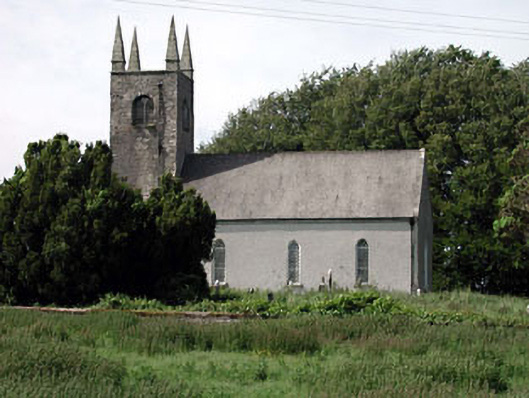 Saint Columcille's Church (Rathmore)church/chapel · 160 yd
 Rathmore MoatCastle, motte and bailey · 247 yd
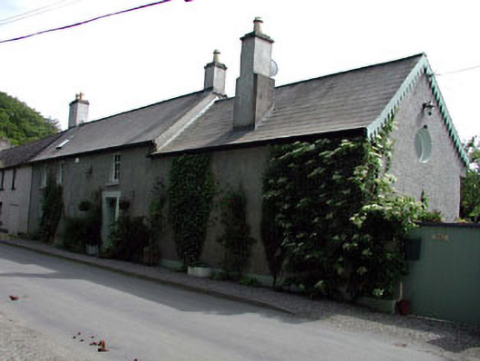 Appletree Cottagehouse · 250 yd
 Enclosure in Rathmore WestEnclosure · 949 yd
 Hartwell CastleCastle, unclassified · 1.6 mi
 European YewEuropean Yew · 1.6 mi
 Kilteel WoodWood · 2.0 mi
 Cupidstown HillMountain / peak · 3.0 mi
 The Square RenewalMemorial · 3.4 mi
 Dame Ninette de ValoisMemorial · 3.4 mi
 Saggart HillMountain / peak · 4.2 mi