What is recorded here
'The two linear features were situated to the south of a removed field boundary. Both features contained iron slag-like material. These features were identified during the monitoring of the N21 Road Improvement Scheme. The first was filled with a reddish-purple, compact, silty clay, with occasional charcoal flecking. Its cut was shallow, with a U-shaped base, and was crescent-shaped. It measured 1.3m north-south x 2.5m and was 0.15m deep. The second was filled with similar material to the first. It measured 0.57m north-south by 2.1m and was 0.lm deep. Again it was U-shaped. No in situ burning was apparent in either feature. Owing to the predominance of iron panning in the immediate area, the excavator suggested that the features are associated with the production of iron raw material.'
Description from ‘The Prehistoric Settlement of the Lee Valley, Tralee, Co. Kerry; A Landscape Perspective’ by Michael Connolly. PhD Thesis UCC 2008
Date of upload: 20 June 2012
The monument record does not grant public access. Check the route and ask the landowner before entering private land.
- What survives
- Recorded monument
Places near here
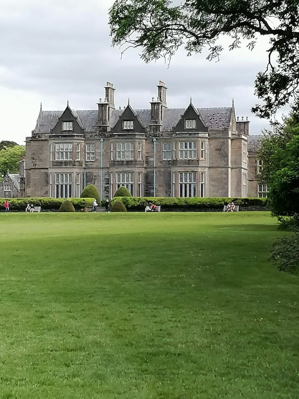 Enclosure in BallymacthomasEnclosure · 116 yd
 Field system in BallymacthomasField system · 649 yd
 Kilquane Church (in Ruins)Church · 865 yd
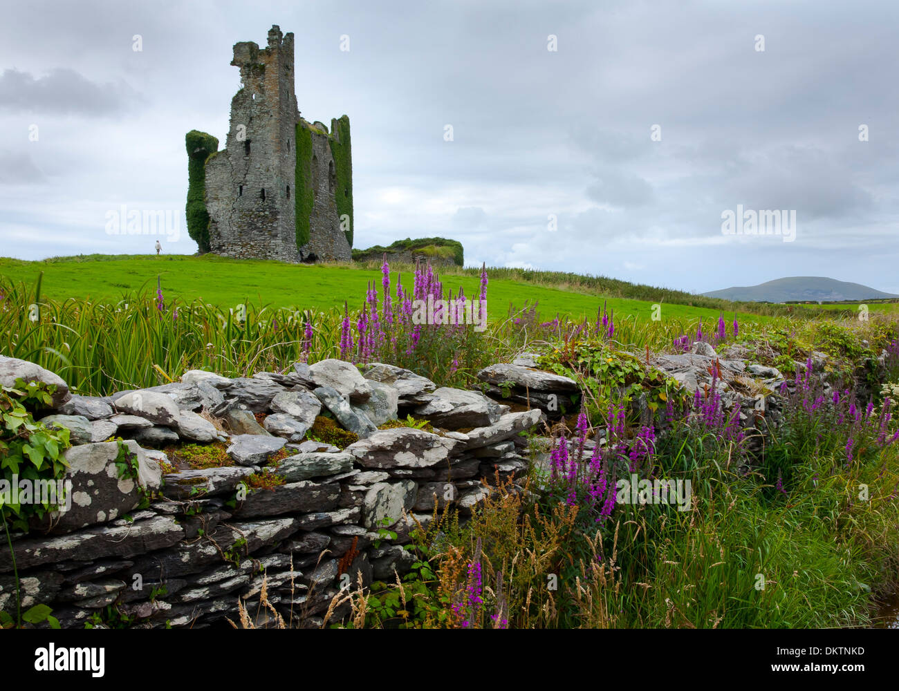 IndicatedWater mill, unclassified · 867 yd
 Common AlderCommon Alder · 1509 yd
 PoulatouirtCave · 1572 yd
 Poulclashcannon (blocked)Cave · 1.1 mi
 Ballyseede Castle HotelCastle · 1.1 mi
 Bealagrellagh CastleCastle · 1.2 mi
 Monument WoodWood · 1.3 mi
 Civil War MemorialMemorial · 3.1 mi
 Crimea Cannon and War MemorialMonument · 3.6 mi