What is recorded here
Discovered in the course of archaeological excavations undertaken by Rubicon Heritage Services in advance of the construction of the N22 Tralee Bypass. The remains comprised two rows of pits that appeared to form an avenue on an alignment which was approximately 8 degrees S of an E-W axis. The rows were not perfectly parallel with each other and the distance between them was 8.6m at the E (at the limit of the excavated area) and gradually narrowed to a minimum of 5.1 m at the W. The N row contained 16 pits (0.05m – 0.34m in depth) and the S row, 18 pits (0.11m – 0.42m in depth). The rows each measured c.30m in length but it is likely that they extended further to the E beyond the road-take and this hypothesis is supported by the results of geophysical survey in this area. The space between the pits averaged 1m. No datable artifacts or material suitable for radiocarbon dating was retrieved from the pits. These pits are likely to have functioned as post-pits, as there was evidence in a number of the features for post packing and post-pipes. No comparable monument has been identified in Ireland (pers. comm. Rubicon Heritage Services).
Compiled by: Paul Walsh
Date of upload: 12 December 2012
The monument record does not grant public access. Check the route and ask the landowner before entering private land.
- What survives
- Recorded monument
Places near here
 EnclosureEnclosure, large enclosure · 297 yd
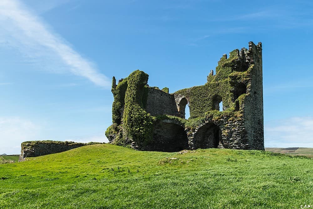 CastleCastle, unclassified · 308 yd
 Enclosure in Ballingowan (trughanacmy By.)Enclosure · 382 yd
 Ballyseedy WoodWood · 1064 yd
 European YewEuropean Yew · 1213 yd
 Ballyseede Castle HotelCastle · 1363 yd
 Ratass Church (in ruins)Church · 1577 yd
 Ballyseede Castlegates/railings/walls · 1741 yd
 Civil War MemorialMemorial · 1.4 mi
 Crimea Cannon and War MemorialMonument · 1.8 mi
 Kerry County MuseumMuseum · 1.9 mi
 John Hurley GalleryGallery · 1.9 mi