
What is recorded here
Enclosure is an egg-shaped stone and earth bank on a limestone reef at Tralee, measuring 155m east-west and 104m north-south. Its eastern end preserves a broad scarp beside quarried bedrock pits, while a later wall covers much of the original bank elsewhere. The oval cuts through an older enclosure near Ballingowan, suggesting people kept shaping the same ridge across generations.
'Approximately 200m south – south-east of the embanked enclosure at Ballingowan, this previously unrecorded site is located on a limestone outcrop or reef on the eastern outskirts of Tralee. The site is oval or egg shaped the narrower end to the west and measures 155m E-W and 104m N-S. Except for the eastern end, the perimeter of the site is marked by a modern stone wall, which sits on an earlier stone and earth bank. This wall also cuts the site from N-S at a point 40m from its eastern end. The original bank of the site can be seen beneath the wall particularly on the southern side where the wall has been constructed on the inner edge of the bank. The bank under the wall on the southern side is on average 4.5m wide and 0.35m high externally. The landowner informed me that much of the stone for the wall was in fact derived from the remains of the bank. At the eastern end the bank is clearly visible and similar to the bank of recorded enclosure KE029-158---- takes the form of an enhanced scarp. It measures 7.5m in maximum width and due to the natural slope/scarp of the ridge, is 1.2m on average, in external height and 0.45m in internal height. Immediately inside the bank the limestone bedrock is exposed in places and has clearly been quarried from a number of pits, possibly to construct the bank, which contains stone and earth. There is no evidence of a ditch. as are a number of depressions and holes which may have served as quarry ditches to provide material for the bank. This oval enclosure cuts an earlier site (RMP KE029-158----) at a point 50m from its western end.'
Description from ‘The Prehistoric Settlement of the Lee Valley, Tralee, Co. Kerry; A Landscape Perspective’ by Michael Connolly. PhD Thesis UCC 2008
Date of upload: 20 June 2012
The monument record does not grant public access. Check the route and ask the landowner before entering private land.
- What survives
- Recorded monument
Places near here
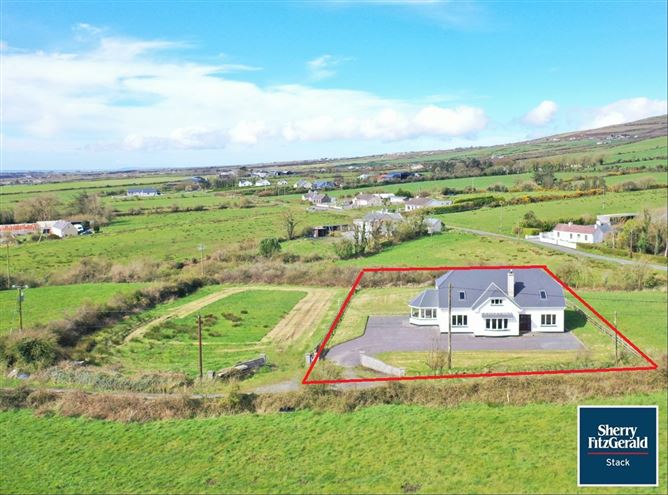 Enclosure in Ballingowan (trughanacmy By.)Enclosure · 86 yd
 Fulacht fia in Ballingowan (trughanacmy By.)Fulacht fia · 420 yd
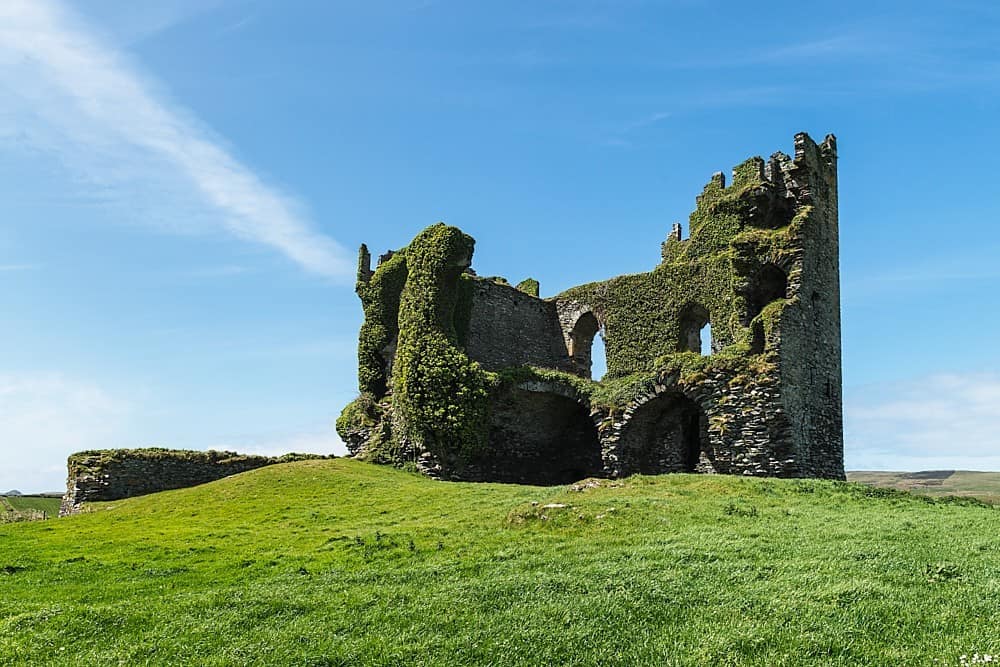 CastleCastle, unclassified · 574 yd
 Ratass Church (in ruins)Church · 1305 yd
 European YewEuropean Yew · 1322 yd
 Ballyseedy WoodWood · 1326 yd
 Ballyseede Castle HotelCastle · 1660 yd
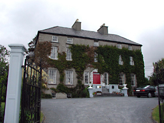 Castlemorris Househouse · 1.2 mi
 Civil War MemorialMemorial · 1.3 mi
 Crimea Cannon and War MemorialMonument · 1.7 mi
 John Hurley GalleryGallery · 1.7 mi
 Kerry County MuseumMuseum · 1.8 mi
Other information
Photo: Credit not shown in the picture search · Rights wording not checked; contact us if this picture should be removed