What is recorded here
Situated at the foot of a small hill on level ground. Local tradition of a stone circle destroyed before 1838. No visible remains. (O'Flanagan 1928, 116)
The above description is derived from the published 'Archaeological Inventory of County Wicklow' (Dublin: Stationery Office, 1997). In certain instances the entries have been revised and updated in the light of recent research.
Date of upload/revision: 17 December 2008
The monument record does not grant public access. Check the route and ask the landowner before entering private land.
- What survives
- Recorded monument
Places near here
 Deer Park PlantationForest · 715 yd
 Blessington DemesneWood · 739 yd
 Rath Turtle MoatFairy fort / ringfort · 963 yd
 Councillor Jim MileyMemorial · 1187 yd
 Proclamation of the Irish RepublicMemorial · 1199 yd
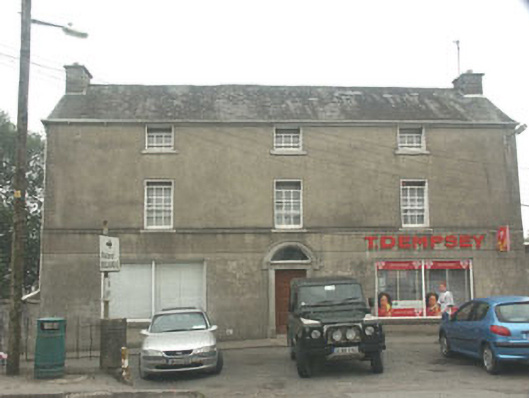 T. Dempseyhouse · 1209 yd
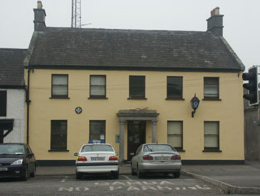 Blessington Garda Síochána Stationhouse · 1235 yd
 Enclosure in NewtownparkEnclosure · 1393 yd
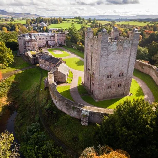 CastleCastle, ringwork · 1.2 mi
 Castle (in ruins)Castle, tower house · 1.4 mi
 Lacken – Mass Path LoopWalking route · 3.4 mi
 Cupidstown HillMountain / peak · 4.3 mi