
What is recorded here
Pine Cone Point is shown as a viewpoint on the public map of Perth and Kinross. The saved point is the map point or the centre of its mapped shape.
This does not grant access. Check current paths, opening conditions and ownership before entering.
Places near here
 Dunkeld, Dunkeld House, West GrottoGrotto (garden) (post Medieval) · 670 yd
 River TayNatural Feature (period Unknown) · 696 yd
 King's SeatFort (early Medieval), Hearth(s) (early Medieval) (550)-(645), Crucible(s) (early Medieval), Crucible(s) (early Medieval), Mould(s) (stone)(early Medieval) · 972 yd
 Dunkeld, Dunkeld HouseCountry House (20th Century), Hotel (20th Century) · 978 yd
 Dunkeld, the Hermitage, Ossian's CaveFolly (18th Century) · 1053 yd
 Falls of BraanWaterfall · 1059 yd
 Ossian's HallVisitor information · 1094 yd
 Polney CragCliff · 1180 yd
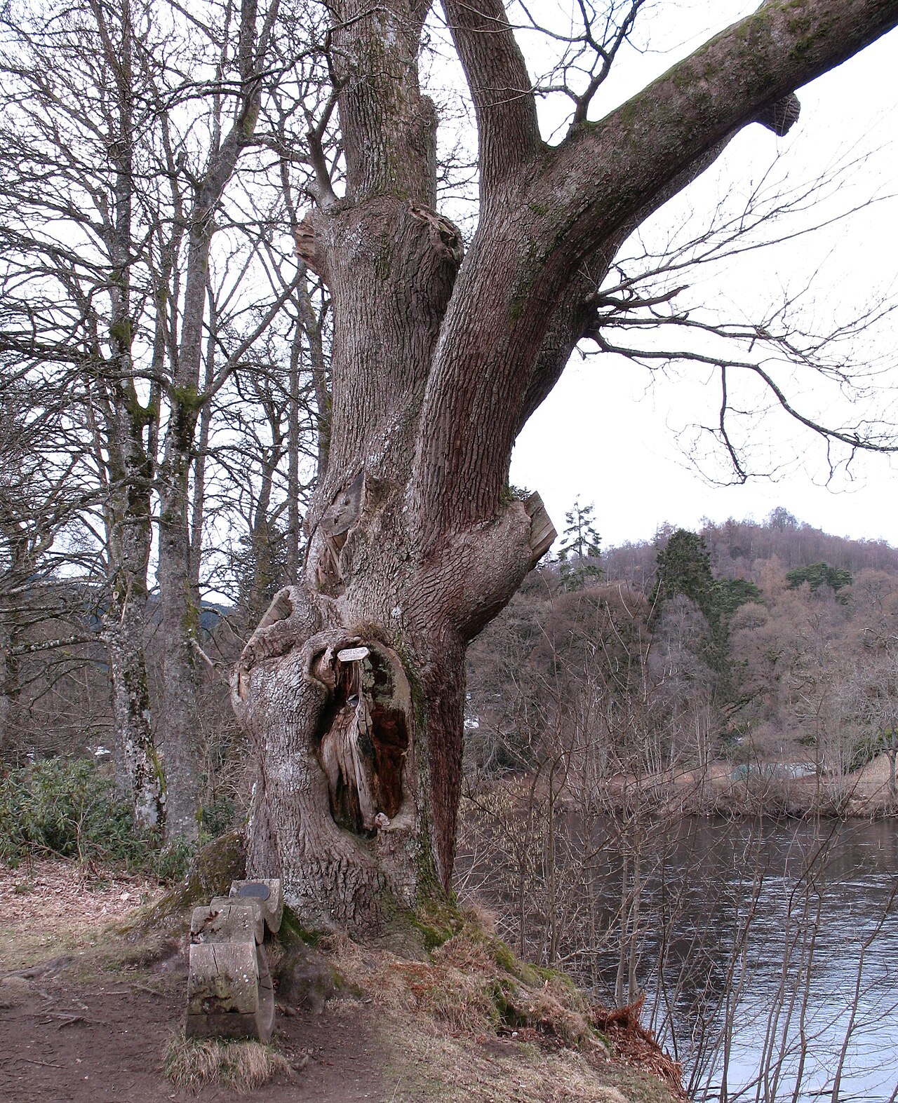 Niel Gow's OakOak · 1277 yd
 Falls of the BraanWaterfall · 1534 yd
 The Rocking StoneMountain / peak · 1.1 mi
 The Parent LarchEuropean Larch · 1.3 mi
Other information
Photo: Russel Wills · CC BY-SA 2.0