What is recorded here
Pillars may have marked a gate on a west-facing slope in County Cork, but no stone remains visible today. The name survived on an 1842 map, suggesting the place still mattered when the land was drawn. Any gate now belongs to memory, holding only the shape of what disappeared beneath pasture and time.
In pasture on W-facing slope. Also marked 'Pillars' on OS 6-inch map (1842). No visible surface trace. Possibly gate pillars.
The above description is derived from the published 'Archaeological Inventory of County Cork. Volume 1: West Cork' (Dublin: Stationery Office, 1992). In certain instances the entries have been revised and updated in the light of recent research.
Date of upload/revision: 14 January 2009
The monument record does not grant public access. Check the route and ask the landowner before entering private land.
- What survives
- Recorded monument
Places near here
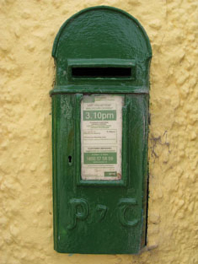 post boxpost box · 569 yd
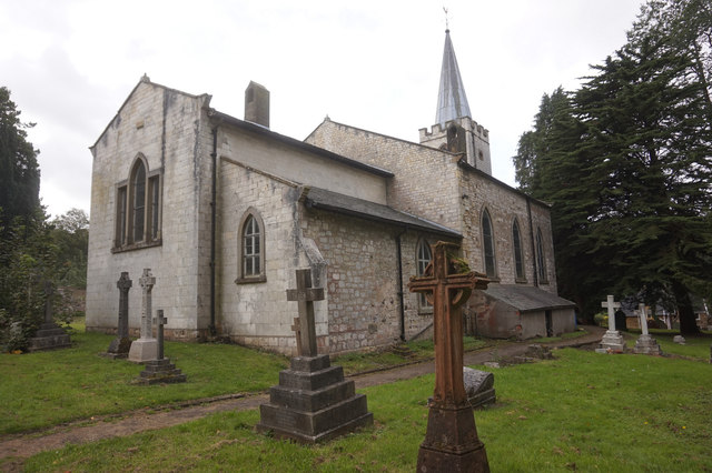 St. James WellSpring · 652 yd
 telephone boxtelephone box · 662 yd
 St James WellHoly well · 668 yd
 Man-made underground passage in ClooncunnigMan-made underground passage · 941 yd
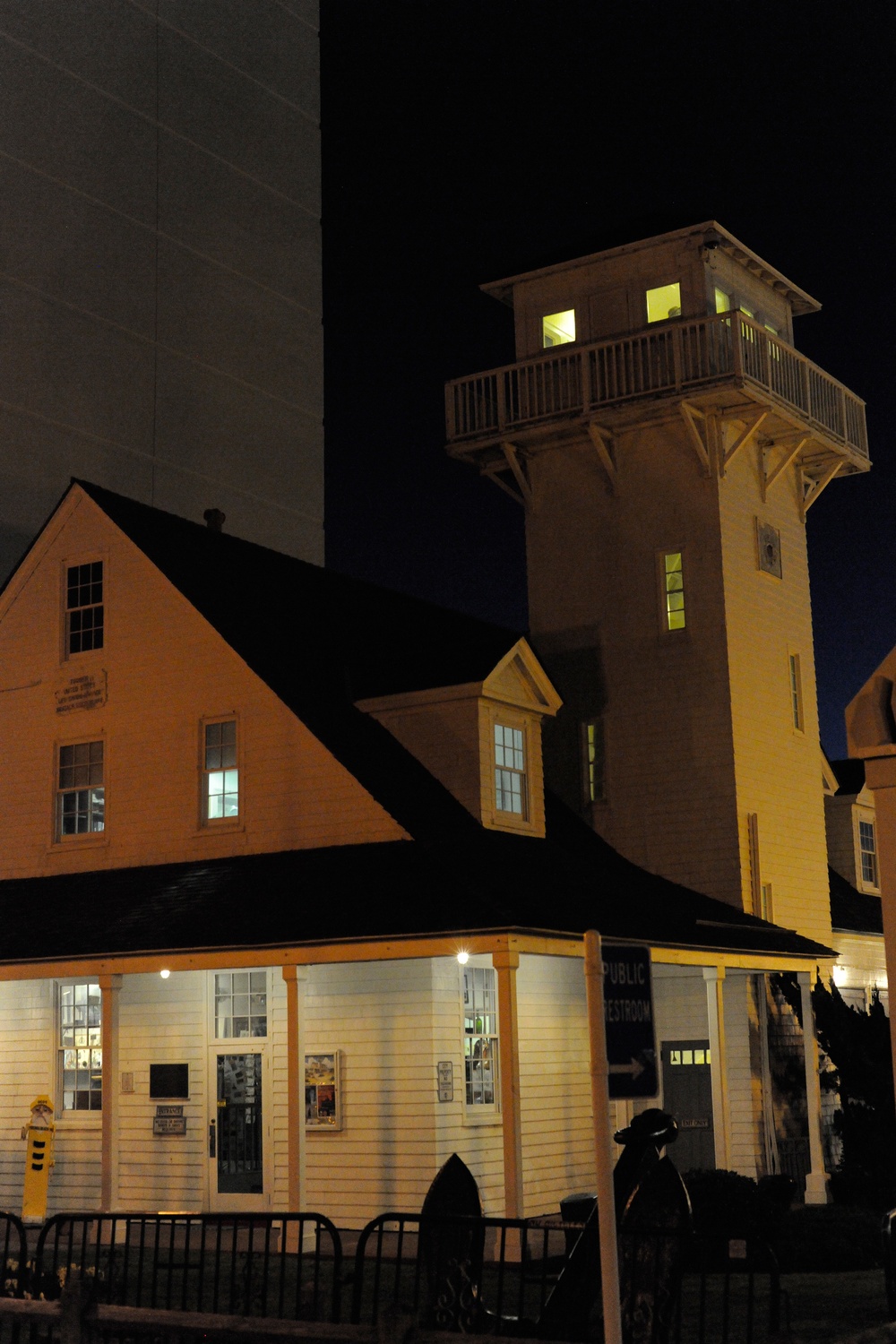 Old Coast Guard StationRuins · 1502 yd
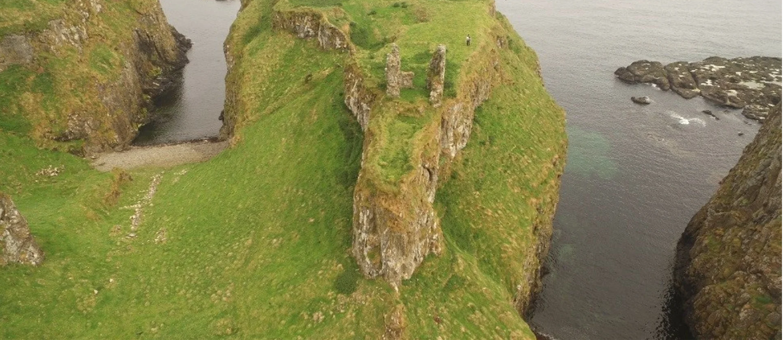 Dunnycove Castle (in Ruins)Castle, tower house · 1.4 mi
 Red StrandBeach / strand · 1.6 mi
 CastleCastle, unclassified · 1.6 mi
 Cottage MuseumMuseum · 1.9 mi
 Long Strand DunesNature reserve · 2.2 mi
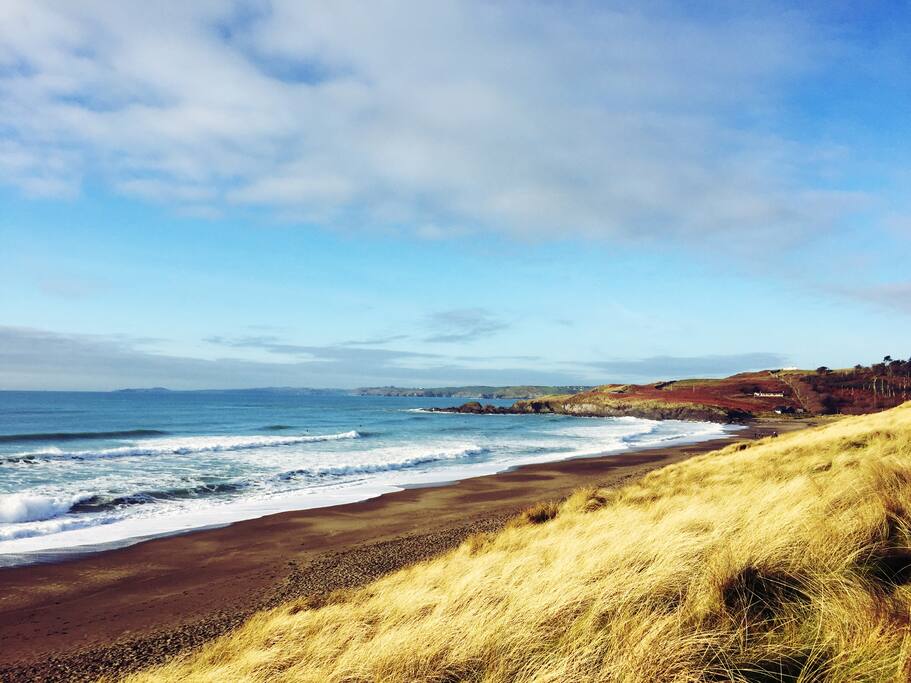 The Long StrandBeach / strand · 2.3 mi