What is recorded here
Not marked on 1842 OS 6-inch map. In level pasture. Stone (H 3.8m; 1.67m x 0.55m) is subrectangular in plan and irregular in shape, long axis E-W. Urn burial (11966) also found in field.
The above description is derived from the published 'Archaeological Inventory of County Cork. Volume 4: North Cork' (Dublin: Stationery Office, 2000). In certain instances the entries have been revised and updated in the light of recent research.
Date of upload/revision: 14 January 2009
Likely dating to the Neolithic or Early Bronze Age, the Pillar Stone at Nutgrove may have had ritual or territorial significance, possibly linked to the nearby urn burial. Standing stones of this type are often associated with funerary or ceremonial practices in prehistoric Britain.
The monument record does not grant public access. Check the route and ask the landowner before entering private land.
- What survives
- Recorded monument
Places near here
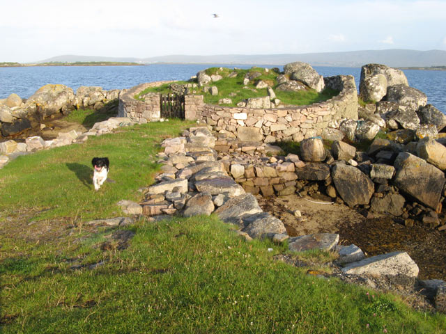 CillinBurial ground · 570 yd
 Enclosure in NutgroveEnclosure · 634 yd
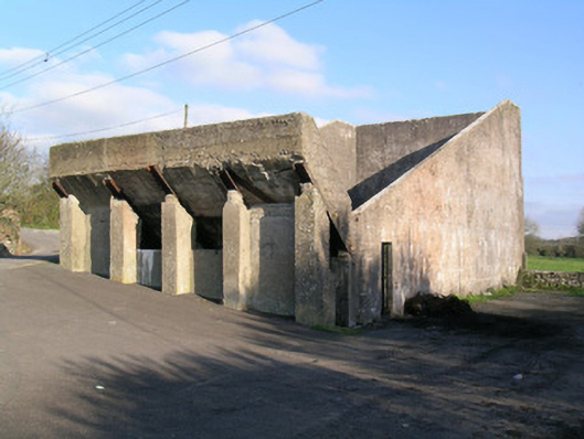 Ballindangan Handball Alleyhandball alley · 978 yd
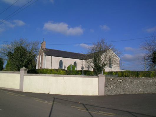 Church of the Immaculate Conceptionchurch/chapel · 1013 yd
 Ballyloughy CastleCastle · 1.2 mi
 Caherdrinny Castle (in Ruins)Castle, tower house · 1.7 mi
 St Dominick's WellSpring · 2.8 mi
 Graveyard in BoherashGraveyard · 2.8 mi
 FlagCave · 2.8 mi
 Flat cemetery in Ballyenahan NorthFlat cemetery · 3.1 mi
 Mitchelstown Town MapVisitor information · 3.8 mi
 Kilclooney WoodWood · 4.4 mi