What is recorded here
In wet pasture, 55m N of Loobagh river that forms townland boundary with Garrynlease and 100m SW of townland boundary with Killeen. Not marked on 1840 ed. OSi 6-inch map and 1897 ed. 25-inch map. Annotated ‘Pillar Stone’ on the Cassini ed. OSi 6-inch map. Standing stone listed by Grogan (1989, 272) in Moorestown townland.
See attached Google Earth orthoimages.
Compiled by: Fiona Rooney
Date of upload: 18 August 2021
Likely dating to the Bronze Age, the Pillar Stone may have functioned as a territorial marker or ritual monument. Its placement near a river and townland boundaries suggests a possible role in defining land divisions or holding ceremonial significance in prehistoric landscape use.
The monument record does not grant public access. Check the route and ask the landowner before entering private land.
- What survives
- Recorded monument
Places near here
 Mote, HachuredMound · 739 yd
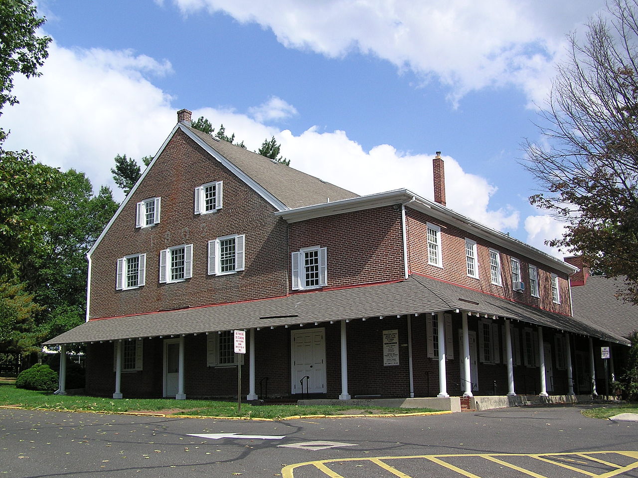 Moorestown Fort, hachuredFairy fort / earthen ringfort · 875 yd
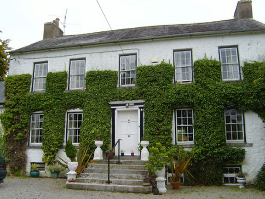 Spring Lodgecountry house · 1101 yd
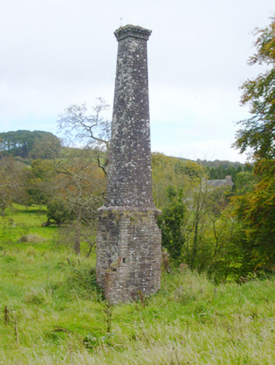 Kilfinnane Millschimney · 1219 yd
 Palatine's RockNamed rock · 1275 yd
 Castle (in ruins)Castle, tower house · 1701 yd
 Ballyhoura WayWalking route · 1.0 mi
 Treada Na Ríogh (The Moat), hachuredCastle, motte · 1.0 mi
 Ballyhoura tourist informationVisitor information · 1.1 mi
 Ballinvreena LoopVisitor information · 1.7 mi
 SlievereaghMountain / peak · 2.0 mi
 Keale MountainMountain / peak · 2.7 mi