What is recorded here
National monument No. 247. Situated on the N side of Killalough Hill with E shoreline of Lough Gur 270m to W. Standing stone (LI032-034----) on top of Killalough Hill 50m to SSE. Standing stone clearly visible on Digital aerial photograph. Monument described in 1912 as following; 'On the brow of the hill above the Giants' Graves [LI032-029----/030----) are two large blocks of stone [LI032-032----/034----], unmarked and unnamed on the Ordnance map. Both of these are of conglomerate, whereas all the outcrops on the hill are of limestone. I have no doubt whatever that one of these, which is bedded in the ground, is a gallaun, and feel pretty confident that the other also comes under this description. The northern block [LI032-032----], which is rounded, measures 6 feet 9 inches [2m] by 4 feet [1.2m], and is 3 feet 6 inches [1m] high. The compass-bearing from one gallaun to another is 210°; and the compass bearing at right angles to the line between the two stones is 320°' (Windle 1912, 297). O'Kelly was doubtful about the antiquity of these two stones which he described as low boulders that looked more like glacial erratics rather than prehistoric standing stones (O'Kelly 1944, 29).
Compiled by: Caimin O'Brien
Date of upload: 23 May 2018
The monument record does not grant public access. Check the route and ask the landowner before entering private land.
- What survives
- Recorded monument
Places near here
 Field system in Rawleystown,ballingoola,ballynagallagh,grange (smallcounty By.),knockfennell,loughgur,patrickswellField system · 84 yd
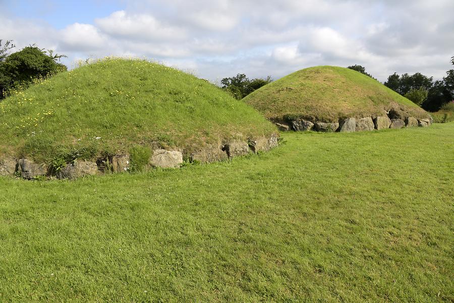 Megalithic structure in LoughgurMegalithic structure · 142 yd
 Black Castle (in ruins)Castle, tower house · 390 yd
 RoadRoad, road/trackway · 405 yd
 New Church (in ruins)Church · 536 yd
 Pedunculate OakPedunculate Oak · 1019 yd
 Garret IslandCastle, unclassified · 1107 yd
 Lough Gur Heritage CentreVisitor information · 1335 yd
 The SpectaclesVisitor information · 1433 yd
 Grange Stone CircleArchaeological place · 1591 yd
 Lough GurVisitor information · 1657 yd
 Glen BogForest · 1.5 mi