What is recorded here
Half a metre high and a metre and a half wide, the pile of stones sits at the summit of a ridge running north from Truskmore, marking the county boundary with Sligo. It appeared in italic lettering on the 1907 OS map as a 'Ple of Stones', yet its small modern shape suggests people kept rebuilding it long after surveyors stopped caring. The boundary between counties is a human invention, but the act of piling stone on stone is not. Someone stood there, picked up what the ridge offered, and made the line visible.
At the summit of a ridge running N from Truskmore. Marked only on the 1907 ed. of the OS 6-inch map (Leitrim 003) on the county boundary with Sligo where it is described in italic lettering as a 'Ple of Stones'. This is a small modern pile of stones (diam. 1.5m, H 0.5m), and it is the same as (SL006-044----).
Compiled by: Michael Moore,
Date of revised upload: 22 December 2015
A portal dolmen; likely dating to the Neolithic or early Bronze Age. Its location on a prominent ridge suggests ritual or territorial significance, typical of megalithic monuments in the region.
The monument record does not grant public access. Check the route and ask the landowner before entering private land.
- What survives
- Recorded monument
Places near here
 TievebaunMountain / peak · 179 yd
 Cormac Reagh's HoleCave · 1375 yd
 Eagle's RockMountain / peak · 1408 yd
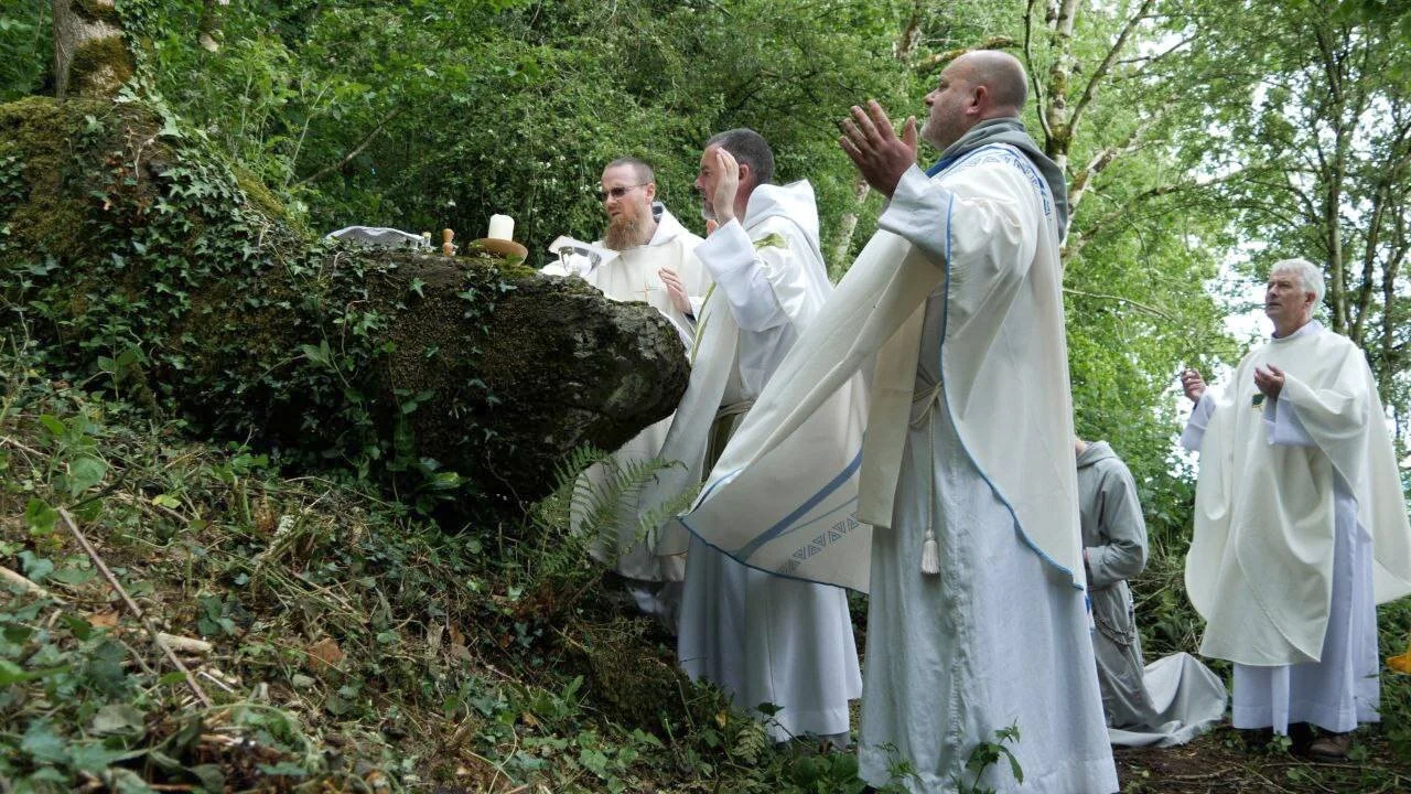 Mass-rock in Aghamore (rosclogher By., Aghanlish Ed)Mass-rock · 1719 yd
 IndicatedFairy fort / stone ringfort · 1.4 mi
 TruskmoreMountain / peak · 1.6 mi
 Baryte MillRuins · 1.6 mi
 Gleniff Horseshoe Drive 2Viewpoint · 1.8 mi
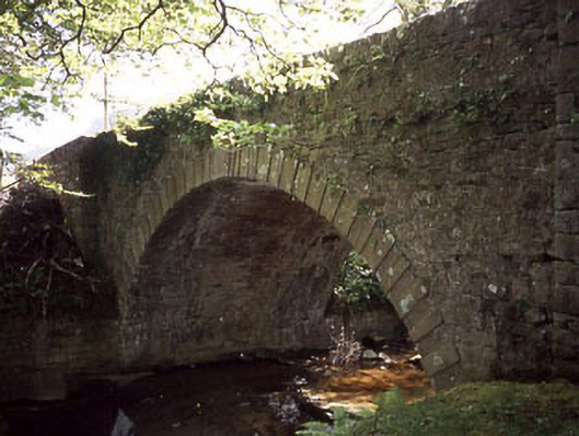 Ballaghnatrillick Bridgebridge · 1.9 mi
 Gleniff Horseshoe DriveViewpoint · 1.9 mi
 Doneen WestCliff · 2.7 mi
 Memorial Francis FinnMemorial · 3.0 mi