What is recorded here
Pile of Stones is a low boundary cairn on a precipitous ridge in County Mayo. It appeared on maps only after 1920, suggesting the line marked something newer than the stones themselves. A second cairn sits 177m northwest, like a repeated sentence along the edge of the mountain. Together they turn an ordinary ridge into a border someone still believed worth remembering.
Situated on a precipitous mountain ridge. Not shown on the 1840-1 OS 6-inch map; on the1920 edition it is shown located on the line of the barony boundary and is named ‘Pile of Stones’. Low, irregularly-shaped cairn (2.9m NNW-SSE; 2.6m ENE-WSW; H 0.9m) of medium-sized stones. There is second boundary cairn (MA058-002----) c. 177m to NW.
Compiled by: Jane O'Shaughnessy
Date of upload: 13 July 2015
The monument record does not grant public access. Check the route and ask the landowner before entering private land.
- What survives
- Recorded monument
Places near here
 Birreencorragh South TopMountain / peak · 119 yd
 BirreencorraghMountain / peak · 1.3 mi
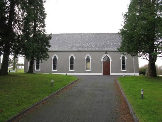 Saint Joseph's Catholic Churchchurch/chapel · 2.6 mi
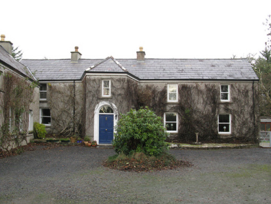 Grouse Lodgehunting/fishing lodge · 3.4 mi
 RaweedoonminnonFairy fort / earthen ringfort · 3.9 mi
 IslandmoreIslet · 3.9 mi
 Tree IslandIslet · 4.0 mi
 Letterkeen LoopWalking route · 5.1 mi
 St. Dominicks WellHoly well · 5.5 mi
 CastleCastle, unclassified · 6.1 mi
 Killeen CemeteryVisitor information · 7.4 mi
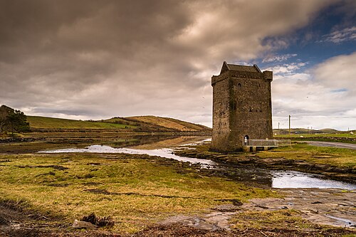 Rockfleet CastleCastle · 7.5 mi