What is recorded here
On the N bank of the Shannon estuary adjacent to Quay Island. Described by O’Sullivan (2001, 305) as a post-medieval ‘wooden jetty on estuarine clays on E shore of Quay Island, of double row of vertical timbers, oriented N-S (curves in towards island on mid-foreshore), c. 180m long, c. 2m wide, with timbers surviving to heights of 3-4m. Depicted on OS maps and Admiralty charts as pier used for island’s harbour pilots. August 1995.' (O'Sullivan 2001, 245, 305, Quay Island 1)
Compiled by: Mary Tunney
Date of upload: 21 August 2019
The monument record does not grant public access. Check the route and ask the landowner before entering private land.
- What survives
- Recorded monument
Places near here
 Maiden RockNamed rock · 982 yd
 Grass IslandIslet · 1026 yd
 Illaunmore PointHeadland · 1249 yd
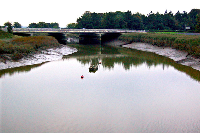 Bunratty Bridgebridge · 1.1 mi
 Bunratty Castlehouse · 1.1 mi
 Grave Yd.Graveyard · 1.1 mi
 IndicatedBawn · 1.1 mi
 Town defences in Bunratty East,bunratty WestTown defences · 1.2 mi
 Bunratty Castle and Folk ParkHeritage attraction · 1.2 mi
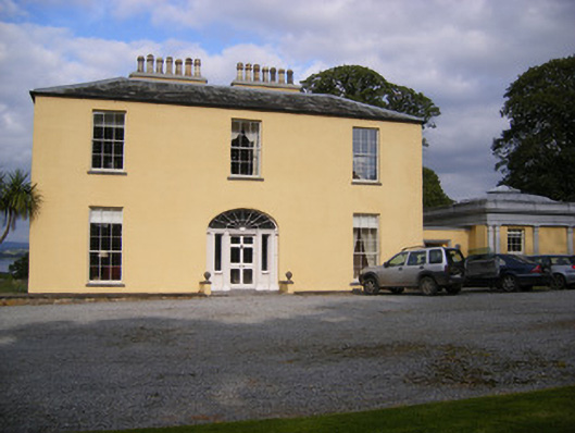 Mellon Housecountry house · 1.3 mi
 Sweet ChestnutSweet Chestnut · 1.5 mi
 CastleCastle, motte and bailey · 2.2 mi