What is recorded here
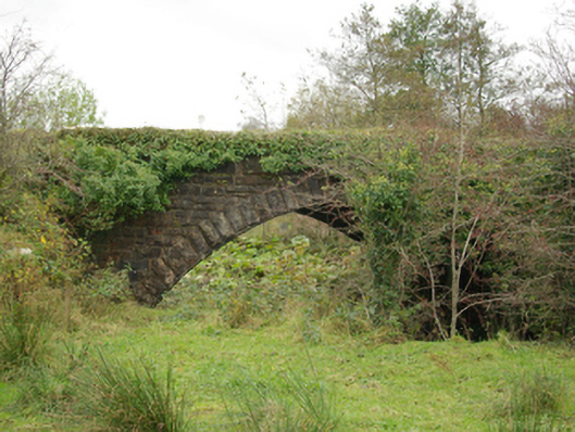
Single-arch railway bridge carrying former railway line over the Termon River, built c. 1865. Now disused. Snecked and squared rock-faced stone construction to spandrels and to parapets with rock-faced coping over; rock-faced buttresses to north and south elevations flanking arch. Segmental-headed arch with rock-faced ashlar voussoirs and with skewed cut stone masonry to the arch barrel. Deck/former railway line now covered in vegetation. Located to the south-east of Pettigoe and to the east of the former railway station at Pettigoe (see 40850010).
This impressive former railway bridge retains its original form and character despite the closure of the line in 1957. The good-quality rock-faced masonry used in its construction is typical of Victorian railway engineering and architecture in Ireland. It survives in excellent condition, which is testament to the quality of its original construction. This bridge crosses the Termon River at an angle to the alignment of the river. To counter this feature the masons used spiral-set cut stone masonry to construct the arch barrel, which is a feature that adds additional technical and engineering merit to this bridge. This bridge was originally built by the Enniskillen, Bundoran and Sligo Railway Company (Part of the Great Northern Railway) as part of the Bundoran Junction to Bundoran railway line (standard gauge), which opened in June 1866 and closed in October 1957. The main contractor involved in the construction of the railway line was Messrs. Brassey and Field, who completed the line after the previous contractor went bankrupt. This railway bridge forms a pair of related structures along with the associated former railway station located a short distance to the west (see 40850010) and is an integral element of the built heritage and transport history of County Donegal.
This does not grant access. Most recorded buildings are privately owned; view them only from public ground unless the owner allows entry.
Places near here
 The Station Houserailway station · 315 yd
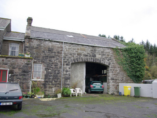 goods shedgoods shed · 341 yd
 Drumharriff WoodForest recreation place · 456 yd
 Castle McGrathCastle · 1.3 mi
 AP Cropmark- Possible rath/ circular enclosure in AghahannaghAP Cropmark- Possible rath/ circular enclosure · 1.4 mi
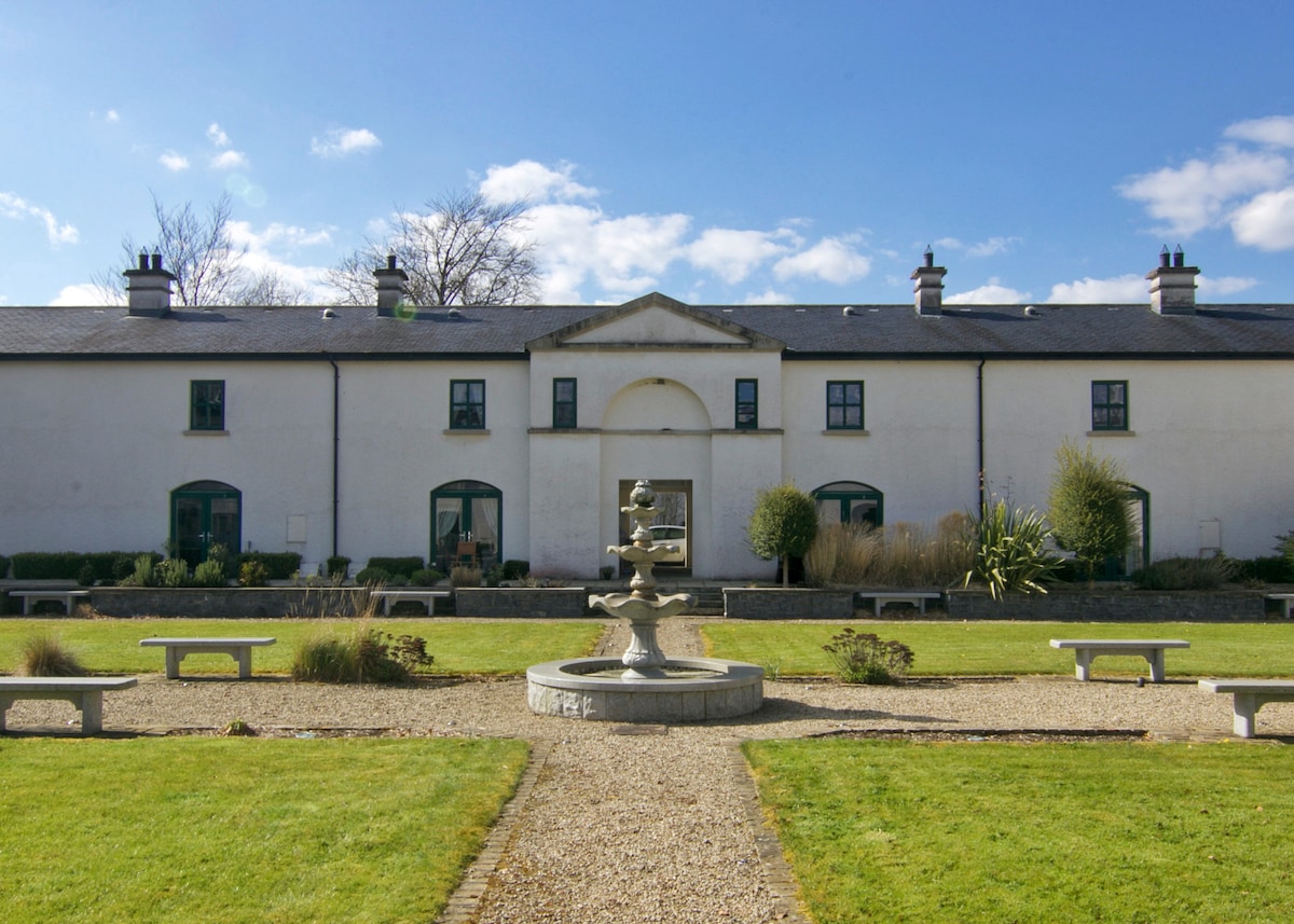 ENCLOSURE in DrumlongfieldENCLOSURE · 1.4 mi
 Teige's RockIsland · 1.5 mi
 Smiths RocksIsland · 1.5 mi
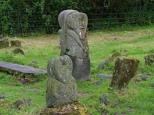 Boa IslandIsland · 2.2 mi
 Kesh ForestForest · 2.2 mi
 STONE FIGURES IN CALDRAGH GRAVEYARD: BOA ISLAND in DreenanSTONE FIGURES IN CALDRAGH GRAVEYARD: BOA ISLAND · 3.3 mi
 Derrin MountainMountain / peak · 3.4 mi
Other information
Photo: National Inventory of Architectural Heritage · Website use allowed for educational or private purposes with source credit